Etiopía · Volcán en escudo
Mat Ala
- Tipo
- Volcán en escudo
- Altitud
- 493 m
- Última erupción
- Desconocido
- Tipo
- Volcán en escudo
- País
- Etiopía
- Región
- África Oriental / Afar Rift Volcanic Province
- Altitud
- 493 m
- Coordenadas
- 13.106, 41.161
- Última erupción
- Desconocido
- Contexto tectónico
- Zona de rift / Corteza intermedia (15-25 km)
- Forma volcánica
- Escudo
- Roca principal
- Basalto / Picrobasalto
Resumen geológico
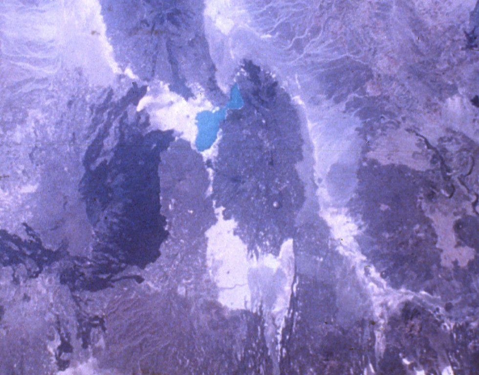
Mat Ala is a low shield volcano in the southern Tat Ali Range, east of Afderà volcano. A 300-m-deep, 2.5 x 3.5 km wide caldera is found at the summit of the volcano, whose flanks are cut by numerous N-S-trending faults. Mat Ala has been active during the Holocene, and fumarolic activity occurs along a fissure SW of the volcano.
Historial de erupciones
GlosarioLínea de tiempo detallada
No hay registros de erupciones disponibles.
Volcanes cercanos
Enlaces externos
- Todavía no está en Wikipedia (Español). Puede contribuir en Wikidata.
- Página original del Smithsonian GVP
⚠ Solo como referencia. No apto para respuesta ante emergencias.