Etiopía · Campo volcánico
Groppo
- Tipo
- Campo volcánico
- Altitud
- 852 m
- Última erupción
- Desconocido
- Tipo
- Campo volcánico
- País
- Etiopía
- Región
- África Oriental / Afar Rift Volcanic Province
- Altitud
- 852 m
- Coordenadas
- 11.816, 40.242
- Última erupción
- Desconocido
- Contexto tectónico
- Zona de rift / Corteza intermedia (15-25 km)
- Forma volcánica
- Grupo volcánico
Resumen geológico
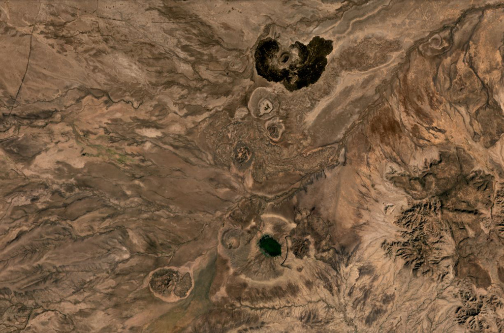
Original en inglésGroppo was identified by IAVCEI (1973) as a small alkali rhyolitic stratovolcano located in the western Afar near the Ethiopian escarpment, NE of Dessye.
Extracto del Global Volcanism Program, Smithsonian Institution · Leer el resumen completo en el GVP →
Historial de erupciones
GlosarioLínea de tiempo detallada
No hay registros de erupciones disponibles.
Volcanes cercanos
Enlaces externos
- Todavía no está en Wikipedia (Español). Puede contribuir en Wikidata.
- Página original del Smithsonian GVP
⚠ Solo como referencia. No apto para respuesta ante emergencias.