Etiopía · Campo volcánico
Sodäre
Melkassa
- Tipo
- Campo volcánico
- Altitud
- 1765 m
- Última erupción
- Desconocido
- Tipo
- Campo volcánico
- País
- Etiopía
- Región
- África Oriental / Main Ethiopian Rift Volcanic Province
- Altitud
- 1765 m
- Coordenadas
- 8.430, 39.350
- Última erupción
- Desconocido
- Contexto tectónico
- Intraplaca / Corteza continental (> 25 km)
- Forma volcánica
- Grupo volcánico
- Roca principal
- Basalto / Picrobasalto
Resumen geológico
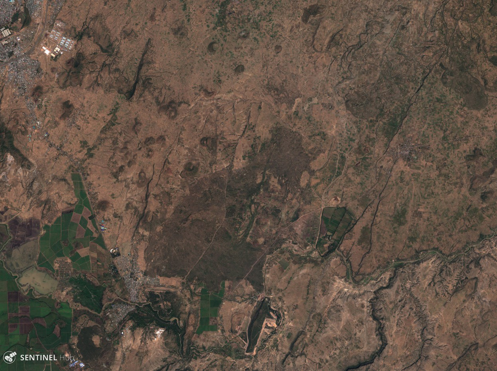
The Melkassa (or Sodore) volcanic field is an extensive 15 x 25 km group of about 30 Pleistocene and Holocene pyroclastic cones and lava flows that covers the floor of the E side of the Ethiopian Rift Valley, around the town of Melkassa, between the Boset volcanic complex and Gedamsa caldera.
Historial de erupciones
GlosarioLínea de tiempo detallada
No hay registros de erupciones disponibles.
Volcanes cercanos
Enlaces externos
- Todavía no está en Wikipedia (Español). Puede contribuir en Wikidata.
- Página original del Smithsonian GVP
⚠ Solo como referencia. No apto para respuesta ante emergencias.