Kenia · Estratovolcán
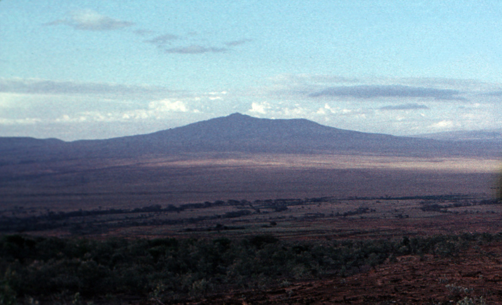
Longonot
- Tipo
- Estratovolcán
- Altitud
- 2776 m
- Última erupción
- 1863
- Tipo
- Estratovolcán
- País
- Kenia
- Región
- África Oriental / Kenyan Rift Volcanic Province
- Altitud
- 2776 m
- Coordenadas
- -0.914, 36.446
- Última erupción
- 1863
- Contexto tectónico
- Zona de rift / Corteza continental (> 25 km)
- Forma volcánica
- Compuesto
- Roca principal
- Traquita / Traquidacita
Resumen geológico
The trachytic Longonot stratovolcano SE of Lake Naivasha in the Gregory Rift valley contains a 8 x 12 km caldera. Formation of the caldera accompanied large explosive eruptions about 21,000 years ago. A large central cone that was constructed within the caldera, which forms the summit, is truncated by a circular, 1.8-km-wide crater. Post-caldera lavas are found on the caldera floor and the volcano's flanks, marking a late stage of effusive eruptions. A well-preserved satellitic cone is located on the NE flank. Masai tradition records a lava flow on the N flank during the 19th century. Similarly youthful-looking lava flows occur on the SW flank.
Resumen de Wikipedia
El Longonot, Ol Longot u Olonongot es un estratovolcán dormido situado al sudeste del lago Naivasha, en la zona rural del Gran Valle del Rift de Kenia a 60 km de Nairobi. Su actividad geodésica durante 2004-2006 demostró la presencia de sistemas magnéticos activos aún debajo.
Wikipedia · CC BY-SA · Leer artículo completo →
Historial de erupciones
3 registradasGlosarioLínea de tiempo detallada
- 1863 (±5 años)VEI 0Estimación geológica1863-07-02 – fin desconocidoNorthern flank
- 1330 a. C. (±100 años)VEI ?Estimación geológica1330 a. C. – fin desconocido
- 7200 a. C. (±100 años)VEI ?Estimación geológica7200 a. C. – fin desconocido
Volcanes cercanos
Enlaces externos
⚠ Solo como referencia. No apto para respuesta ante emergencias.