Sudán · Campo volcánico
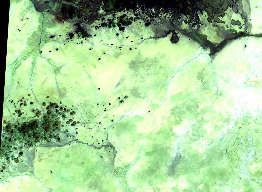
Kutum Volcanic Field
- Tipo
- Campo volcánico
- Altitud
- 1779 m
- Última erupción
- Desconocido
- Tipo
- Campo volcánico
- País
- Sudán
- Región
- África del Norte / Southeast Sahara Volcanic Province
- Altitud
- 1779 m
- Coordenadas
- 14.570, 25.850
- Última erupción
- Desconocido
- Contexto tectónico
- Intraplaca / Corteza continental (> 25 km)
- Forma volcánica
- Grupo volcánico
- Roca principal
- Basalto / Picrobasalto
Resumen geológico
The basaltic Kutum volcanic field, in the northern Darfur area of western Sudan, is located SW of the larger Meidob volcanic field. As with other Saharan volcanic fields, Kutum (also known as the Tagabo Hills or Berti Hills) contains very well-preserved cones, lava flows, and explosion craters. They were considered to be of late-Pleistocene or even Holocene age (Almond, 1974). Franz et al. (1997), however, assigned only Tertiary age ranges for rocks from Tagabo Hills.
Historial de erupciones
GlosarioLínea de tiempo detallada
No hay registros de erupciones disponibles.
Volcanes cercanos
Enlaces externos
- Todavía no está en Wikipedia (Español). Puede contribuir en Wikidata.
- Página original del Smithsonian GVP
⚠ Solo como referencia. No apto para respuesta ante emergencias.