Nueva Zelanda · Estratovolcán
Rumble II West Seamount
Rumble II West
- Tipo
- Estratovolcán
- Altitud
- 1200 m (submarino)
- Última erupción
- Desconocido
- Tipo
- Estratovolcán
- País
- Nueva Zelanda
- Región
- Tonga y Kermadec / Southern Kermadec Volcanic Arc
- Altitud
- 1200 m (submarino)
- Coordenadas
- -35.353, 178.527
- Última erupción
- Desconocido
- Contexto tectónico
- Zona de subducción / Corteza oceánica (< 15 km)
- Forma volcánica
- Compuesto
- Roca principal
- Andesita / Andesita basáltica
Resumen geológico
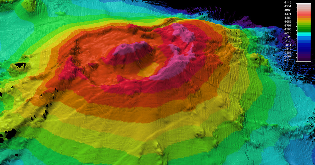
Original en inglésRumble II West, about 12 km NW of Rumble II East, rises 1,800 m from the ocean floor to within 1,200 m of the surface.
Extracto del Global Volcanism Program, Smithsonian Institution · Leer el resumen completo en el GVP →
Historial de erupciones
GlosarioLínea de tiempo detallada
No hay registros de erupciones disponibles.
Volcanes cercanos
Enlaces externos
- Todavía no está en Wikipedia (Español). Puede contribuir en Wikidata.
- Página original del Smithsonian GVP
⚠ Solo como referencia. No apto para respuesta ante emergencias.