Papúa Nueva Guinea · Estratovolcán
Hargy
- Tipo
- Estratovolcán
- Altitud
- 1148 m
- Última erupción
- 950
- Tipo
- Estratovolcán
- País
- Papúa Nueva Guinea
- Región
- Pacífico Suroccidental / Bismarck Volcanic Arc
- Altitud
- 1148 m
- Coordenadas
- -5.330, 151.100
- Última erupción
- 950
- Contexto tectónico
- Zona de subducción / Corteza continental (> 25 km)
- Forma volcánica
- Compuesto
- Roca principal
- Dacita
Resumen geológico
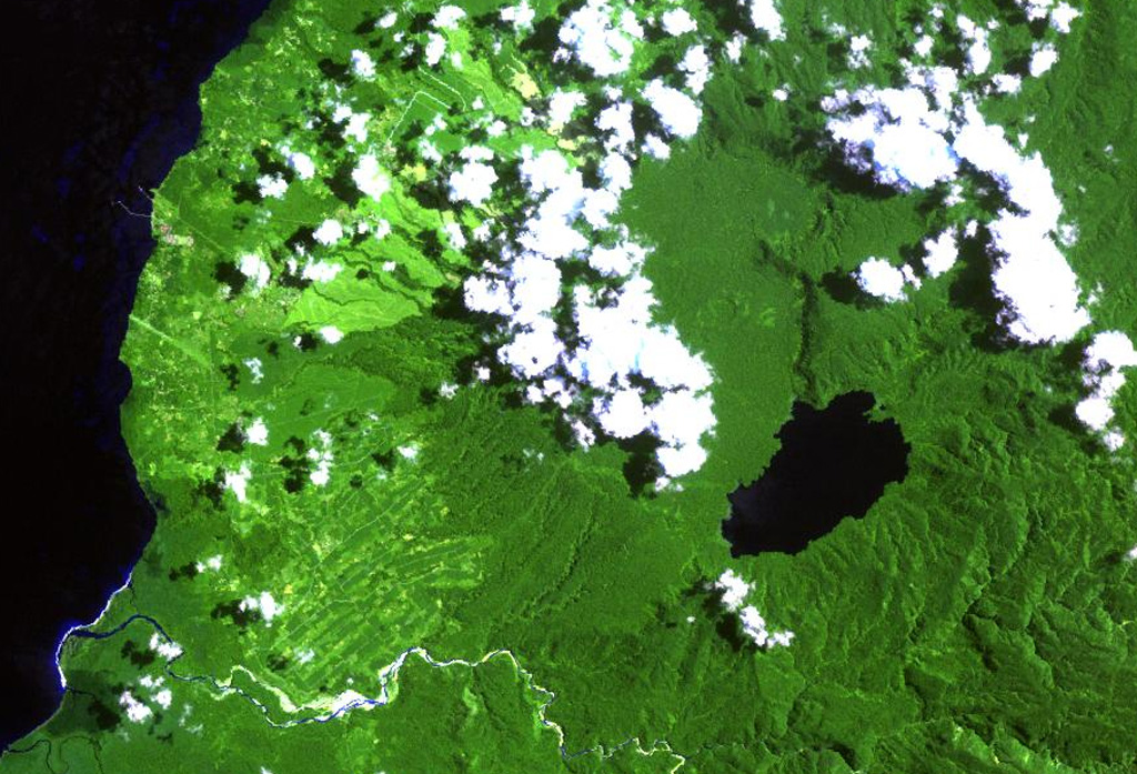
This little-known volcano is one of several major calderas on the island of New Britain. The 10 x 12 km Hargy caldera, whose floor is 150 m above sea level, contains an inner caldera with a steep west-facing wall. A caldera lake on the SE side drains through a narrow gap in the northern caldera wall. The latest caldera-forming eruption of Hargy volcano took place about 11,000 years ago. The dacitic Galloseulo lava cone rises above and partially overtops the western rim of the caldera. A double crater occupies a larger 700-m-wide crater. Numerous small eruptions have taken place at Galloseulo over the past 7000 years, the last occurring about 1000 years ago.
Historial de erupciones
2 registradasGlosarioLínea de tiempo detallada
- 950VEI ?Estimación geológica950 – fin desconocidoGalloseulo
- 5050 a. C.VEI ?Estimación geológica5050 a. C. – fin desconocidoGalloseulo
Volcanes cercanos
Enlaces externos
⚠ Solo como referencia. No apto para respuesta ante emergencias.