Indonesia · Estratovolcán
Malintang
- Tipo
- Estratovolcán
- Altitud
- 1988 m
- Última erupción
- Desconocido
- Tipo
- Estratovolcán
- País
- Indonesia
- Región
- Sunda y Banda / Sunda Volcanic Arc
- Altitud
- 1988 m
- Coordenadas
- 0.476, 99.663
- Última erupción
- Desconocido
- Contexto tectónico
- Zona de subducción / Corteza continental (> 25 km)
- Forma volcánica
- Compuesto
- Roca principal
- Andesita / Andesita basáltica
Resumen geológico
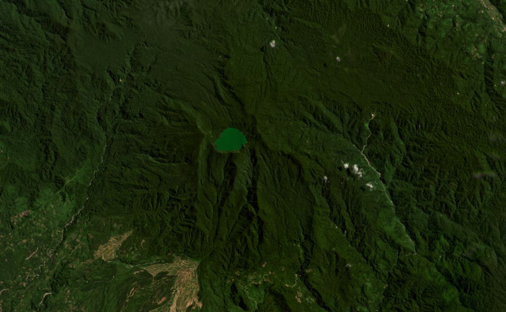
The broad forested Malintang andesitic-to-dacitic stratovolcano has an irregular summit crater with a 900 x 1,500 m lake. The flanks are relatively uneroded, and it most likely has had significant eruptions within the past few thousand years (Kieh, 2009 pers. comm.). The open caldera may be related to emplacement of a large debris avalanche.
Historial de erupciones
GlosarioLínea de tiempo detallada
No hay registros de erupciones disponibles.
Volcanes cercanos
Enlaces externos
- Todavía no está en Wikipedia (Español). Puede contribuir en Wikidata.
- Página original del Smithsonian GVP
⚠ Solo como referencia. No apto para respuesta ante emergencias.