Indonesia · Estratovolcán
Monte Patuha
Patuha
- Tipo
- Estratovolcán
- Altitud
- 2422 m
- Última erupción
- Desconocido
- Tipo
- Estratovolcán
- País
- Indonesia
- Región
- Sunda y Banda / Sunda Volcanic Arc
- Altitud
- 2422 m
- Coordenadas
- -7.162, 107.400
- Última erupción
- Desconocido
- Contexto tectónico
- Zona de subducción / Corteza continental (> 25 km)
- Forma volcánica
- Compuesto
- Roca principal
- Andesita / Andesita basáltica
Resumen geológico
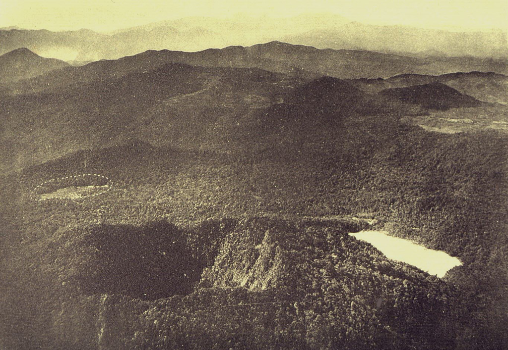
The forested andesitic Gunung Patuha rises SW of the plain of Bandung in western Java. Patuha is the northern peak of a roughly 5-km-long N-S volcanic massif, and has a 300 m crater at the summit. A few hundred meters down the SE flank is a 400 x 500 m crater almost completely filled with a shallow greenish lake, Kawah Putih. Sulfur deposits are present around the shoreline and near active fumaroles on the crater walls. A large debris-avalanche deposit extends down the NE flank. The volcano was formed during the late Pleistocene, but no Holocene eruptions are known.
Resumen de Wikipedia
Resumen en inglésMount Patuha is a twin stratovolcano about 50 km to the southwest of Bandung in West Java, Indonesia. It is located in the Bandung District of West Java. It is one of numerous volcanoes in this area; others in the region include Mount Malabar, Mount Wayang, and Mount Papandayan.
Wikipedia · CC BY-SA · Leer artículo completo →
Historial de erupciones
GlosarioLínea de tiempo detallada
No hay registros de erupciones disponibles.
Volcanes cercanos
Enlaces externos
⚠ Solo como referencia. No apto para respuesta ante emergencias.