Filipinas · Estratovolcán
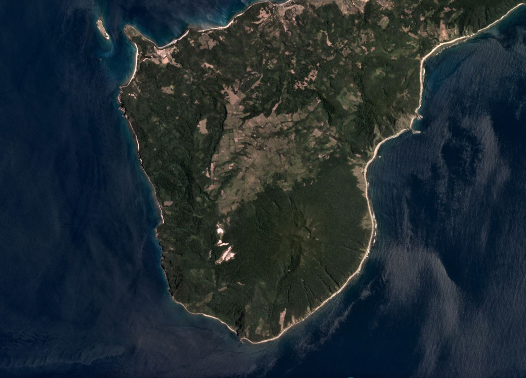
Camiguin de Babuyanes
- Tipo
- Estratovolcán
- Altitud
- 712 m
- Última erupción
- 1857
- Tipo
- Estratovolcán
- País
- Filipinas
- Región
- Pacífico Occidental / Luzon Volcanic Arc
- Altitud
- 712 m
- Coordenadas
- 18.830, 121.860
- Última erupción
- 1857
- Contexto tectónico
- Zona de subducción / Espesor de corteza desconocido
- Forma volcánica
- Compuesto
- Roca principal
- Andesita / Andesita basáltica
Resumen geológico
Forested Mount Camiguin occupies the SW tip of 22-km-long Camiguin Island in the Babuyan archipelago, north of Luzon Island. Following construction of an andesitic volcano during the Pliocene, the subsidiary cones of Minabul to the north and Caanoan to the east were constructed on the northern part of the island. The southern part of the island consists of three volcanic centers located along a SSE-NNW line, the andesitic Mount Camiguin stratovolcano and the young andesitic lava domes of Mt. Malabsing and Pamoctan. A phreatic eruption, possibly in part submarine, was reported from Camiguin de Babuyanes around 1857. Fumaroles are found on the SW, W, and E flanks of the volcano, and a boiling spring is located near sea level on the W flank.
Resumen de Wikipedia
Camiguin de Babuyanes es un estratovolcán activo en la isla de Camiguin, parte del grupo de islas Babuyan que se encuentra en Estrecho de Luzón, al norte de la isla de Luzón, en Filipinas. El volcán y la isla están dentro de la jurisdicción del municipio de Calayán, en la provincia de Cagayán.
Wikipedia · CC BY-SA · Leer artículo completo →
Historial de erupciones
1 registradasGlosarioLínea de tiempo detallada
- 1857VEI 2Observado1857-07-02 – fin desconocidoSW flank
Volcanes cercanos
Enlaces externos
⚠ Solo como referencia. No apto para respuesta ante emergencias.