Japón (administrado por Rusia) · Estratovolcán
Tebenkova
Odamoisan [Tebenkov]
- Tipo
- Estratovolcán
- Altitud
- 1208 m
- Última erupción
- Desconocido
- Tipo
- Estratovolcán
- País
- Japón (administrado por Rusia)
- Región
- Pacífico Noroccidental / Kuril Volcanic Arc
- Altitud
- 1208 m
- Coordenadas
- 45.029, 147.917
- Última erupción
- Desconocido
- Contexto tectónico
- Zona de subducción / Corteza intermedia (15-25 km)
- Forma volcánica
- Compuesto
Resumen geológico
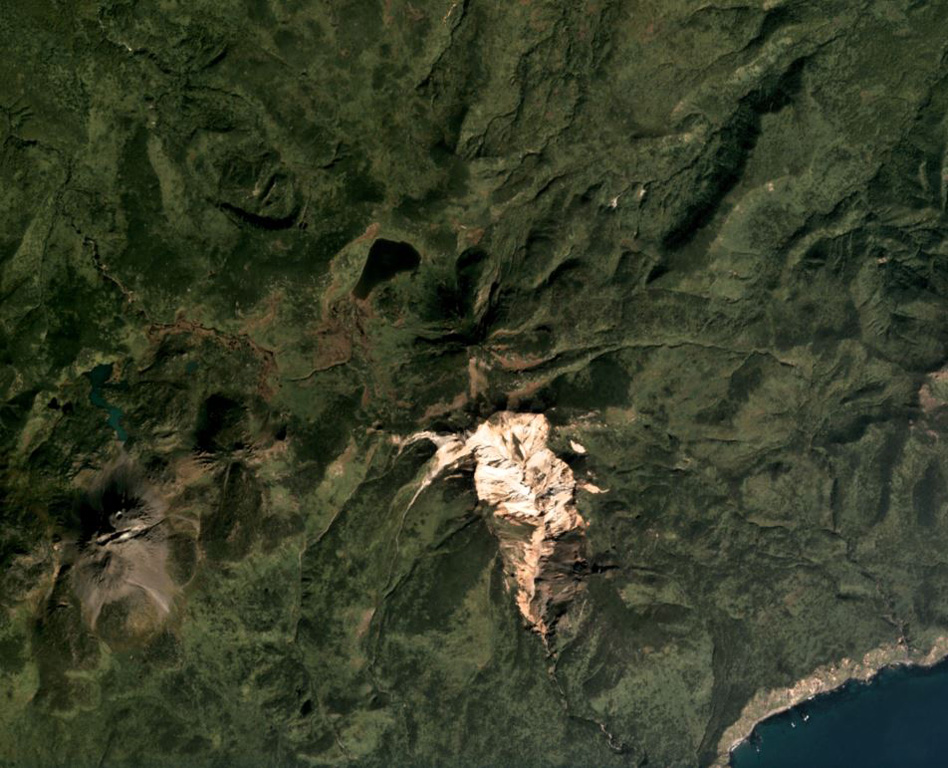
Odamoisan (also known as Tebenkov), lies in the center of Iturup Island along the E coast. This forested andesitic volcano is ~4 km NE of the Etorofu-Yakeyama (Ivan Grozny) dome complex. A large eroded valley on the S side, named the Machekh crater, displays strong fumarolic activity and heavily altered surface deposts. There have been no observed eruptions.
Historial de erupciones
GlosarioLínea de tiempo detallada
No hay registros de erupciones disponibles.
Volcanes cercanos
Enlaces externos
- Todavía no está en Wikipedia (Español). Puede contribuir en Wikidata.
- Página original del Smithsonian GVP
⚠ Solo como referencia. No apto para respuesta ante emergencias.