Rusia · Cono piroclástico
Zavaritsky
- Tipo
- Cono piroclástico
- Altitud
- 1547 m
- Última erupción
- -800
- Tipo
- Cono piroclástico
- País
- Rusia
- Región
- Pacífico Noroccidental / Eastern Kamchatka Volcanic Arc
- Altitud
- 1547 m
- Coordenadas
- 53.907, 158.385
- Última erupción
- -800
- Contexto tectónico
- Zona de subducción / Corteza continental (> 25 km)
- Forma volcánica
- Compuesto
- Roca principal
- Basalto / Picrobasalto
Resumen geológico
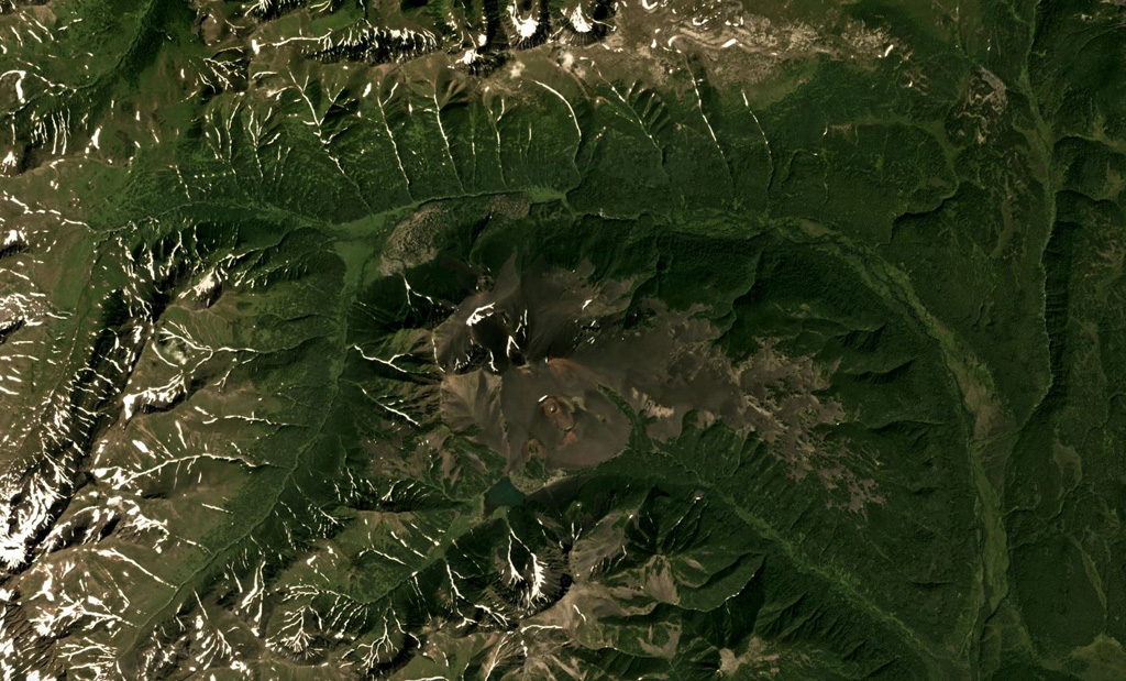
Zavaritsky volcano consists of a complex of six cinder cones trending NW-SE, and an explosion crater located near the headwaters of the Levaya Avacha River west of the main Eastern Kamchatka volcanic arc. The six cones were formed during an eruption about 2,800 years ago, during which associated lava flows blocked the Levaya Avacha and Ozernaya rivers, forming Lake Vulkanischeskoe along the Ozernaya drainage. The highest cone, Mount Peschanaya, lies near the southern end of the cone group. Other monogenetic cinder cones are located NW and NE of the volcano. The Berezovy cinder cone to the NW erupted ~11,000-10,000 radiocarbon years ago. An unnamed cone near the crest of a range dividing the Srednaya Avacha and Kavicha river drainages, about 14 km WNW, erupted about 3,000-2,500 years ago; it is slightly closer to Bakening volcano, but the chemistry of its products are related to those of Zavaritsky.
Historial de erupciones
2 registradasGlosarioLínea de tiempo detallada
- 800 a. C. (±500 años)VEI 2Estimación geológica800 a. C. – fin desconocido14 km WNW of Zavaritsky
- 850 a. C.VEI 4Estimación geológica850 a. C. – fin desconocidoMt. Peschanaya and adjacent cones
Volcanes cercanos
Enlaces externos
- Todavía no está en Wikipedia (Español). Puede contribuir en Wikidata.
- Página original del Smithsonian GVP
⚠ Solo como referencia. No apto para respuesta ante emergencias.