Rusia · Estratovolcán
Komarov
- Tipo
- Estratovolcán
- Altitud
- 2065 m
- Última erupción
- 950
- Tipo
- Estratovolcán
- País
- Rusia
- Región
- Pacífico Noroccidental / Eastern Kamchatka Volcanic Arc
- Altitud
- 2065 m
- Coordenadas
- 55.033, 160.725
- Última erupción
- 950
- Contexto tectónico
- Zona de subducción / Corteza continental (> 25 km)
- Forma volcánica
- Compuesto
- Roca principal
- Basalto / Picrobasalto
Resumen geológico
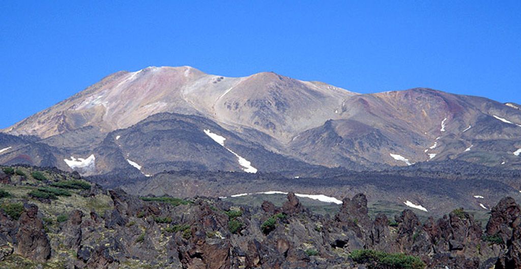
Original en inglésKomarov volcano is a complex structure along the Gamchen ridge. The summit area includes two irregular craters ~300m in diameter.
Extracto del Global Volcanism Program, Smithsonian Institution · Leer el resumen completo en el GVP →
Resumen de Wikipedia
Resumen en inglésKomarov is an inactive stratovolcano located in the southeastern part of the Kamchatka Peninsula, Russia.
Wikipedia · CC BY-SA · Seguir leyendo en la Wikipedia en inglés →
Historial de erupciones
2 registradasGlosarioResumen del registro
- Erupciones confirmadas
- 2
- Erupciones inciertas
- 0
- Período del registro confirmado
- 450 – 950
- Mayor erupción confirmada
- VEI 0 (450)
- Erupciones confirmadas desde 1900
- 0
Resumen (VEI en el tiempo)
Haga clic en una barra para ver erupciones individuales · Usa las flechas para moverte entre barras y Enter para abrir
Línea de tiempo detallada
- 950VEI ?Estimación geológica950 – fin desconocido
- 450VEI 0Estimación geológica450 – fin desconocido
Volcanes cercanos
Enlaces externos
⚠ Solo como referencia. No apto para respuesta ante emergencias.