Rusia · Cono piroclástico
Cherpuk Group
- Tipo
- Cono piroclástico
- Altitud
- 1868 m
- Última erupción
- -4550
- Tipo
- Cono piroclástico
- País
- Rusia
- Región
- Pacífico Noroccidental / Central Kamchatka Volcanic Arc
- Altitud
- 1868 m
- Coordenadas
- 55.550, 157.470
- Última erupción
- -4550
- Contexto tectónico
- Zona de subducción / Corteza continental (> 25 km)
- Forma volcánica
- Menor
- Roca principal
- Andesita / Andesita basáltica
Resumen geológico
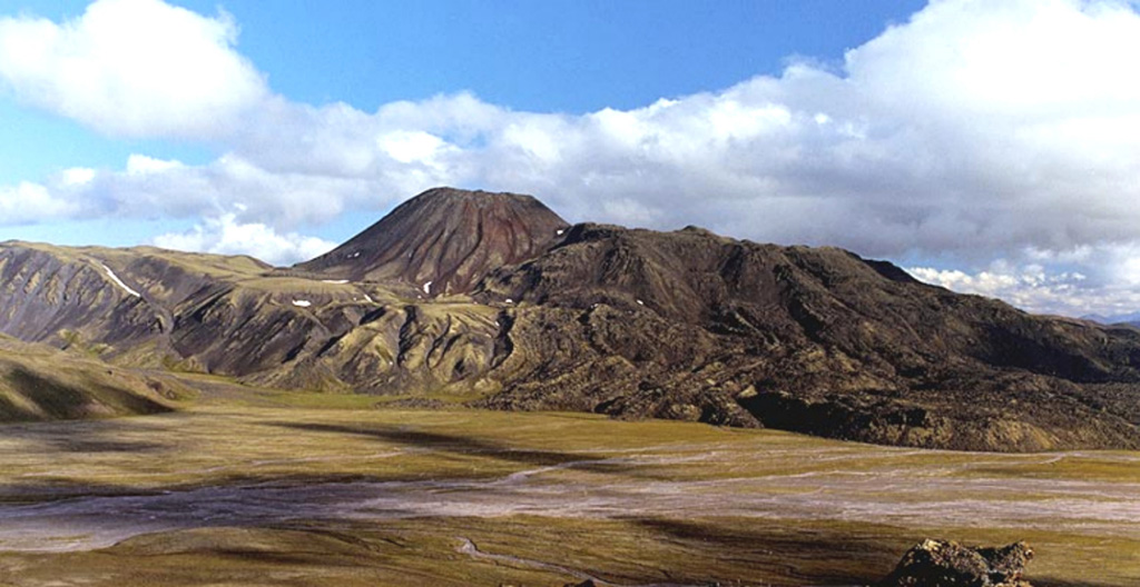
Severny Cherpuk (South Cherpuk) and Yuzhny Cherpuk (North Cherpuk) are two cinder cones SW of Ichinsky volcano that comprise the largest monogenetic volcanoes of the Sredinny Range. Severny Cherpuk, 21 km SW of Ichinsky, is a double cone that fed 1.8 km3 lava flows down both sides of the range to the NW and SE. A narrow tongue of the SE flow diverted an additional 10 km S, for a total distance of 22 km. Yuzhny Cherpuk, 11 km SSW of Ichinsky, produced a 1.7 km3 lava flow that traveled 18 km S and then SE. The flow descended to 640 m elevation and dammed tributaries of the Ketachan River, producing three lakes. The two cones are sometimes considered to be satellitic cones to Ichinsky, but Pevzner et al. (2000) noted petrological distinctions that suggest an independent origin. Unpublished radiocarbon ages revise those in Pevzner et al. (2000) and indicate that both cones were formed about 6,500 years ago.
Resumen de Wikipedia
Resumen en inglésCherpuk Group is a group of two cinder cones located in the central part of Kamchatka Peninsula, Russia. It is a group of a few mostly dormant cinder cones.
Wikipedia · CC BY-SA · Leer artículo completo →
Historial de erupciones
1 registradasGlosarioLínea de tiempo detallada
- 4550 a. C.VEI ?Estimación geológica4550 a. C. – fin desconocidoNorth and South Cherpuk
Volcanes cercanos
Enlaces externos
⚠ Solo como referencia. No apto para respuesta ante emergencias.