Estados Unidos · Anillo de toba
Buzzard Creek
- Tipo
- Anillo de toba
- Altitud
- 830 m
- Última erupción
- -1050
- Tipo
- Anillo de toba
- País
- Estados Unidos
- Región
- América del Norte / Alaska Peninsula Volcanic Arc
- Altitud
- 830 m
- Coordenadas
- 64.062, -148.433
- Última erupción
- -1050
- Contexto tectónico
- Zona de subducción / Corteza continental (> 25 km)
- Forma volcánica
- Menor (basáltico)
- Roca principal
- Basalto / Picrobasalto
Resumen geológico
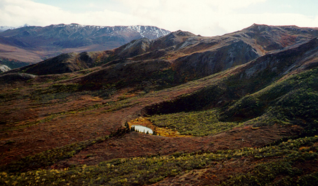
Two Holocene tuff rings form craters 300 and 66 m wide near the headwaters of Buzzard Creek at the northern foot of the central Alaska Range NE of the town of Healy along the Parks Highway. Both contain small lakes, and the smaller ring is about 200 m SE of the larger one. The total volume of ejecta, most of which is accessory material, probably does not exceed 0.001 km3. The ejecta overlies young glacial terraces that correlate with a glacial stage that ended about 10,000 years ago, and radiocarbon dates give an age for the eruption that formed the tuff rings of about 3,000 years. This minor volcanic feature lies along trend with the Aleutian arc, but is located 320 km NE of its nearest Holocene neighbor (Hayes volcano), and directly over the northernmost corner of the subducting Pacific Plate.
Resumen de Wikipedia
Resumen en inglésThe Buzzard Creek craters are two tuff rings near Healy, Alaska, United States. Its highest point is 2,723 ft.
Wikipedia · CC BY-SA · Leer artículo completo →
Historial de erupciones
1 registradasGlosarioLínea de tiempo detallada
- 1050 a. C.VEI 2Estimación geológica1050 a. C. – fin desconocido
Volcanes cercanos
Enlaces externos
⚠ Solo como referencia. No apto para respuesta ante emergencias.