Estados Unidos · Campo volcánico
Red Hill volcanic field
Red Hill-Quemado
- Tipo
- Campo volcánico
- Altitud
- 2300 m
- Última erupción
- -9450
- Tipo
- Campo volcánico
- País
- Estados Unidos
- Región
- América del Norte / Basin and Range Volcanic Province
- Altitud
- 2300 m
- Coordenadas
- 34.250, -108.830
- Última erupción
- -9450
- Contexto tectónico
- Zona de rift / Corteza continental (> 25 km)
- Forma volcánica
- Grupo volcánico
- Roca principal
- Basalto / Picrobasalto
Resumen geológico
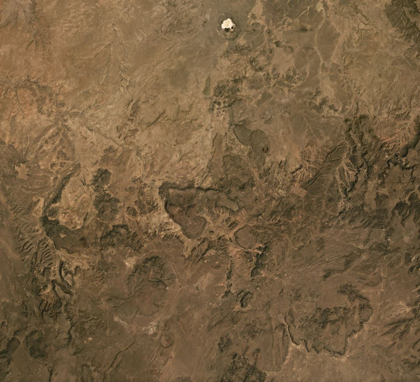
The Red Hill-Quemado volcanic field in western New Mexico is across the border from the Springerville volcanic field in Arizona and contains more than 40 cinder cones and maars that were active from the late Miocene to early Holocene. The volcanic field lies along the NE-trending Jemez Lineament that extends from SE Colorado to east-central Arizona. Dating by Onken and Forman (2017) showed that three eruptive events took place during the early Holocene, and that the 2-km-wide Zuni Salt Lake maar with its late-stage nested cinder cones was formed about 11,000-11,800 calibrated 14C years ago.
Historial de erupciones
3 registradasGlosarioResumen (VEI en el tiempo)
Haga clic en una barra para ver erupciones individuales · Usa las flechas para moverte entre barras y Enter para abrir
Línea de tiempo detallada
- 9450 a. C. (±400 años)VEI ?Estimación geológica9450 a. C. – fin desconocidoZuni Salt Lake maar
- 9700 a. C. (±450 años)VEI ?Estimación geológica9700 a. C. – fin desconocido2.5 km radius of Zuni Salt Lake
- 9850 a. C. (±500 años)VEI ?Estimación geológica9850 a. C. – fin desconocidoCerro Pomo?
Volcanes cercanos
Enlaces externos
⚠ Solo como referencia. No apto para respuesta ante emergencias.