Guatemala · Estratovolcán
Volcán Jumaytepeque
Jumaytepeque
- Tipo
- Estratovolcán
- Altitud
- 1802 m
- Última erupción
- Desconocido
- Tipo
- Estratovolcán
- País
- Guatemala
- Región
- América Central y Caribe / Central America Volcanic Arc
- Altitud
- 1802 m
- Coordenadas
- 14.340, -90.271
- Última erupción
- Desconocido
- Contexto tectónico
- Zona de subducción / Corteza continental (> 25 km)
- Forma volcánica
- Compuesto
- Roca principal
- Basalto / Picrobasalto
Resumen geológico
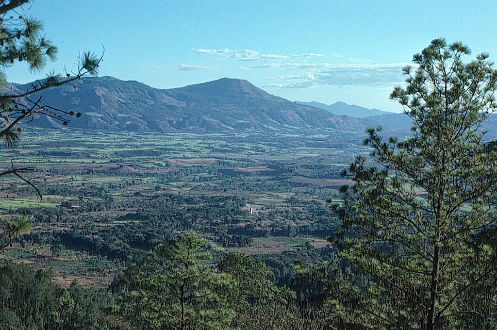
Jumaytepeque is a small basaltic stratovolcano located NNE of the city of Cuilapa, north of the major NW-SE-trending Jalpatagua fault that cuts diagonally across SE Guatemala. The volcano was constructed near the SE rim of the large Miocene Santa Rosa de Lima caldera. It is not overlain by a ca. 23,000-year-old tephra unit from nearby Ayarza caldera, and its erosionally unmodified form suggests that Holocene activity is possible (Reynolds 2007, pers. comm.). Two older cinder cones to the north are covered with Ayarza tephra.
Resumen de Wikipedia
Resumen en inglésVolcán Jumaytepeque is a stratovolcano in south-eastern Guatemala. The 1,815-metre-high (5,955 ft) volcano is located about 7 km north-north-east of the city of Cuilapa, near the south-eastern rim of the large Miocene Santa Rosa de Lima caldera.
Wikipedia · CC BY-SA · Leer artículo completo →
Historial de erupciones
GlosarioLínea de tiempo detallada
No hay registros de erupciones disponibles.
Volcanes cercanos
Enlaces externos
⚠ Solo como referencia. No apto para respuesta ante emergencias.