Nicaragua · Fisura volcánica
Nejapa-Miraflores
- Tipo
- Fisura volcánica
- Altitud
- 360 m
- Última erupción
- 1060
- Tipo
- Fisura volcánica
- País
- Nicaragua
- Región
- América Central y Caribe / Central America Volcanic Arc
- Altitud
- 360 m
- Coordenadas
- 12.120, -86.320
- Última erupción
- 1060
- Contexto tectónico
- Zona de subducción / Corteza continental (> 25 km)
- Forma volcánica
- Grupo volcánico
- Roca principal
- Basalto / Picrobasalto
Resumen geológico
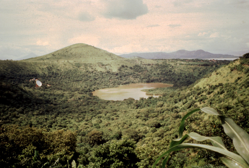
The Nejapa-Miraflores alignment (also known as Nejapa-Ticoma), ~10 km S of Apoyeque near the western margin of the Nicaraguan graben, cuts through the western part of the capital city of Managua and marks the right-lateral offset of the volcanic arc in Nicaragua. This group of features has erupted tholeiitic basaltic rocks similar to those from mid-ocean ridges, with about 40 eruptions during the past 30,000 years, the most recent of which (from Asososca maar) occurred about 1,250 years ago. A series of pit craters and fissure vents extends into Lake Managua and is continuous with the volcanic vents on the Chiltepe peninsula. An area of maars and tuff cones perpendicular to the N-S trend of the alignment forms the scalloped shoreline of Lake Managua. Laguna Tiscapa crater is located several kilometers to the east near the central part of the city of Managua. The elongated Nejapa and Ticoma pit craters are surrounded by small basaltic cinder cones and tuff cones.
Historial de erupciones
8 registradasGlosarioLínea de tiempo detallada
- 1060 (±100 años)VEI 3Estimación geológica1060 – fin desconocidoNejapa maar
- 550 a. C. (±500 años)VEI ?Estimación geológica550 a. C. – fin desconocido
- 3050 a. C. (±500 años)VEI ?Estimación geológica3050 a. C. – fin desconocido
- 4390 a. C. (±100 años)VEI ?Estimación geológica4390 a. C. – fin desconocidoEl Hormigón
- 5230 a. C. (±200 años)VEI ?Estimación geológica5230 a. C. – fin desconocido
- 5350 a. C. (±200 años)VEI ?Estimación geológica5350 a. C. – fin desconocido
- 7300 a. C. (±3150 años)VEI ?Estimación geológica7300 a. C. – fin desconocido
- 7430 a. C. (±300 años)VEI ?Estimación geológica7430 a. C. – fin desconocidoRefinería crater
Volcanes cercanos
Enlaces externos
- Todavía no está en Wikipedia (Español). Puede contribuir en Wikidata.
- Página original del Smithsonian GVP
⚠ Solo como referencia. No apto para respuesta ante emergencias.