Ecuador · Cono piroclástico
Licto volcanic field
Licto
- Tipo
- Cono piroclástico
- Altitud
- 3322 m
- Última erupción
- Desconocido
- Tipo
- Cono piroclástico
- País
- Ecuador
- Región
- América del Sur / Northern Andean Volcanic Arc
- Altitud
- 3322 m
- Coordenadas
- -1.786, -78.614
- Última erupción
- Desconocido
- Contexto tectónico
- Zona de subducción / Corteza continental (> 25 km)
- Forma volcánica
- Menor (basáltico)
- Roca principal
- Andesita / Andesita basáltica
Resumen geológico
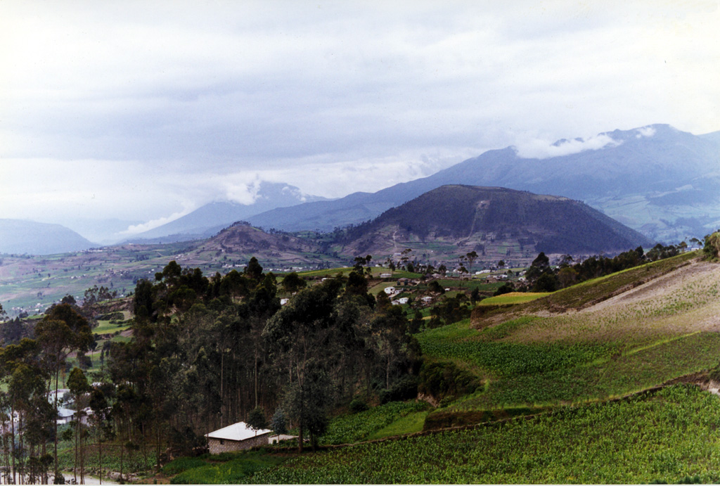
The Licto group of scoria cones lies along the Río Chambo ~25 km SE of the city of Riobamba and just north of the town of Licto. These three basaltic andesite to andesitic cones form the southernmost area of Quaternary volcanism in the Interandean valley of Ecuador. The Cerro Tulabug cone is the largest, with Loma Bellavista ~2 km SE and Licto, the smallest, ~1 km down the WNW flank. The group was considered to be of late Pleistocene or Holocene age (Hall, 1987, pers. comm; Eissen, 2006, pers. comm.) based on the relatively youthful morphology of the cones.
Resumen de Wikipedia
Resumen en inglésResumen breve — abre el artículo completo para más detalle.
Licto is a volcanic field in Ecuador, close to the town of Licto.
Wikipedia · CC BY-SA · Leer artículo completo →
Historial de erupciones
GlosarioLínea de tiempo detallada
No hay registros de erupciones disponibles.
Volcanes cercanos
Enlaces externos
⚠ Solo como referencia. No apto para respuesta ante emergencias.