Chile · Bolivia · Estratovolcán
Volcán Irruputuncu
Irruputuncu
- Tipo
- Estratovolcán
- Altitud
- 5163 m
- Última erupción
- 1995
- Tipo
- Estratovolcán
- País
- Chile · Bolivia
- Región
- América del Sur / Central Andean Volcanic Arc
- Altitud
- 5163 m
- Coordenadas
- -20.730, -68.550
- Última erupción
- 1995
- Contexto tectónico
- Zona de subducción / Corteza continental (> 25 km)
- Forma volcánica
- Compuesto
- Roca principal
- Andesita / Andesita basáltica
Resumen geológico
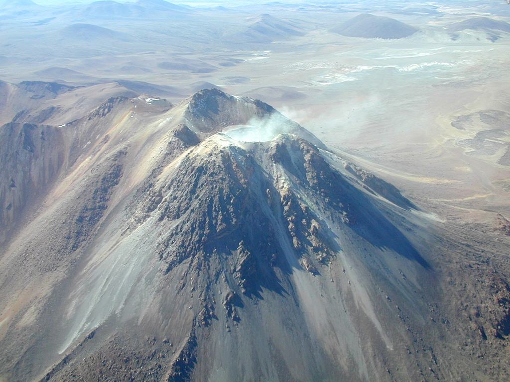
Irruputuncu is a small stratovolcano that straddles the Chile/Bolivia border. It is the youngest and most southerly of a NE-SW-trending chain of volcanoes. It was constructed within the collapse scarp of a Holocene debris avalanche whose deposit extends to the SW. Subsequent eruptions filled much of this scarp and produced thick, viscous lava flows down the W flank. The summit complex contains two craters, the southernmost of which is fumarolically active. The first unambiguous historical eruption took place in November 1995, when phreatic explosions produced dark ash clouds.
Resumen de Wikipedia
Resumen en inglésIrruputuncu is a volcano in the commune of Pica, Tamarugal Province, Tarapacá Region, Chile, as well as San Pedro de Quemes Municipality, Nor Lípez Province, Potosí Department, Bolivia. The mountain's summit is 5,163 m (16,939 ft) high and has two summit craters—the southernmost 200 m (660 ft)-wide one has active fumaroles. The volcano also features lava flows, block and ash flows and several lava domes. The volcano is part of the Andean Central Volcanic Zone (CVZ).
Wikipedia · CC BY-SA · Leer artículo completo →
Historial de erupciones
2 registradasGlosarioLínea de tiempo detallada
- 1995VEI 2Observado1995-09-01 – 1995-09-26
- 1989VEI ?Método no indicado1989-12-16 – fin desconocido
Volcanes cercanos
Enlaces externos
⚠ Solo como referencia. No apto para respuesta ante emergencias.