Chile · Maar
Cerro Tujle
Tujle, Cerro
- Tipo
- Maar
- Altitud
- 3550 m
- Última erupción
- Desconocido
- Tipo
- Maar
- País
- Chile
- Región
- América del Sur / Central Andean Volcanic Arc
- Altitud
- 3550 m
- Coordenadas
- -23.830, -67.950
- Última erupción
- Desconocido
- Contexto tectónico
- Zona de subducción / Corteza continental (> 25 km)
- Forma volcánica
- Menor
- Roca principal
- Sin datos
Resumen geológico
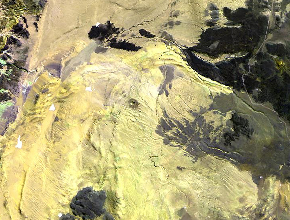
The Cerro Tujle maar (also known as Cerro Tucle or Cerro Tugle) in the Cordón de Tujle has a 60-m-deep crater (de Silva and Francis, 1991). The maar is located SE of the Salar de Atacama, N of Cerro Toloncha.
Historial de erupciones
GlosarioLínea de tiempo detallada
No hay registros de erupciones disponibles.
Volcanes cercanos
Enlaces externos
⚠ Solo como referencia. No apto para respuesta ante emergencias.