Antártida · Estratovolcán
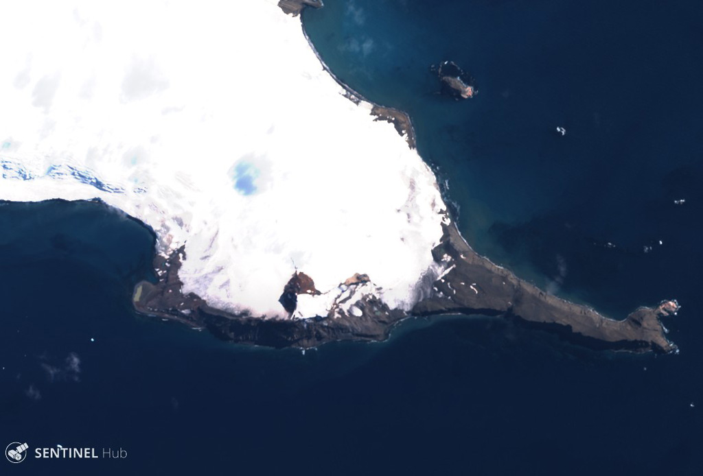
Melville Peak
Melville
- Tipo
- Estratovolcán
- Altitud
- 549 m
- Última erupción
- Desconocido
- Tipo
- Estratovolcán
- País
- Antártida
- Región
- Antártida y Scotia / South Shetlands Volcanic Arc
- Altitud
- 549 m
- Coordenadas
- -62.020, -57.670
- Última erupción
- Desconocido
- Contexto tectónico
- Intraplaca / Corteza continental (> 25 km)
- Forma volcánica
- Compuesto
Resumen geológico
Melville Peak is an eroded stratovolcano on NE King George Island with a summit crater. No radiocarbon dates are available, but an ash layer found 30 km away in a NE Bransfield Strait marine sediment core with compositional similarity to Melville Peak suggests possible Holocene activity within the past few thousand years.
Resumen de Wikipedia
Resumen en inglésMelville Peak is a prominent peak surmounting Cape Melville, the eastern cape of King George Island, in the South Shetland Islands off Antarctica. It represents an eroded stratovolcano of unknown age and contains a volcanic crater at its summit. A volcanic ash layer similar in composition to Melville Peak has been identified 30 km (19 mi) away from the volcano and may indicate Melville Peak has been volcanically active in the last few thousand years.
Wikipedia · CC BY-SA · Leer artículo completo →
Historial de erupciones
GlosarioLínea de tiempo detallada
No hay registros de erupciones disponibles.
Volcanes cercanos
Enlaces externos
⚠ Solo como referencia. No apto para respuesta ante emergencias.