Jerman · Medan gunung api
West Eifel Volcanic Field
- Tipe
- Medan gunung api
- Ketinggian
- 600 m
- Letusan terakhir
- -8300
- Tipe
- Medan gunung api
- Negara
- Jerman
- Wilayah
- Eropa / Central European Volcanic Province
- Ketinggian
- 600 m
- Koordinat
- 50.170, 6.850
- Letusan terakhir
- -8300
- Kondisi tektonik
- Zona rift / Kerak benua (> 25 km)
- Bentuk lahan
- Gugusan gunung api
- Batuan utama
- Foidit
Ringkasan geologi
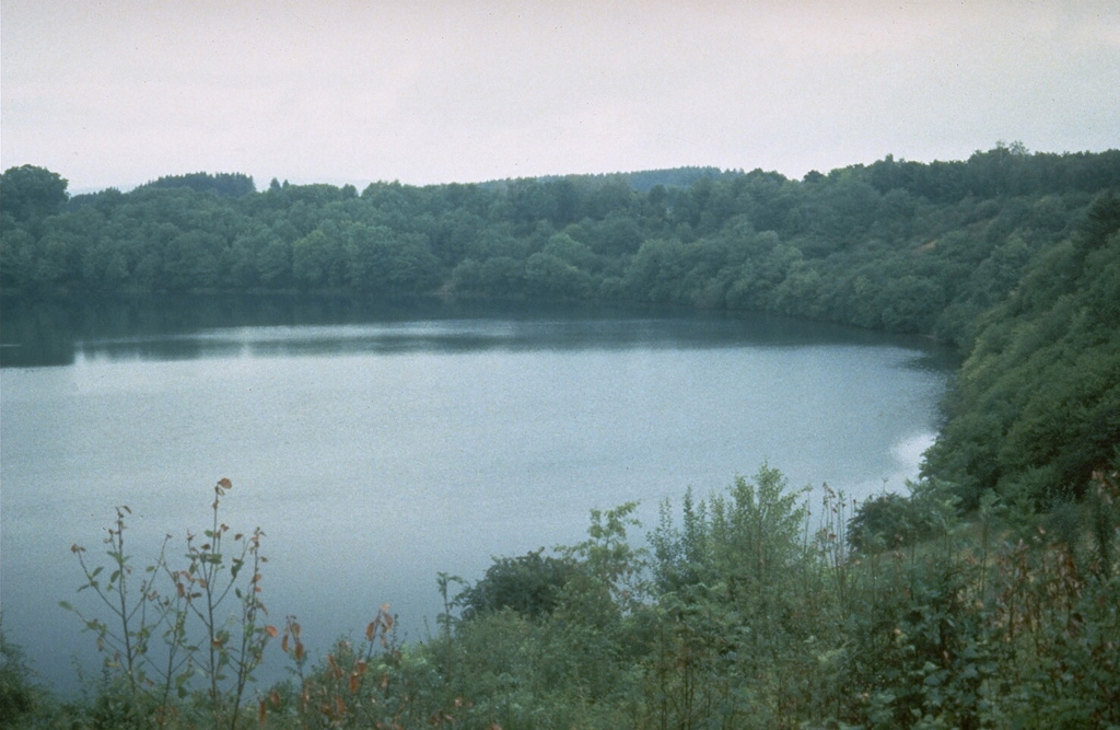
The West Eifel Volcanic Field of western Germany, SW of the city of Bonn, is a dominantly Pleistocene group of 240 scoria cones, maars, and small stratovolcanoes covering an area of about 600 km2. The smaller, but better known, East Eifel Volcanic Field is about 40 km NE. Individual vents spread across a broad NW-SE-trending area extending about 50 km from the towns of Ormont on the NW to Bad Bertrich on the SE. Eruptions originated from a mantle plume through Devonian sedimentary and metamorphic rocks. Two-thirds of the volcanic centers in the field are scoria cones; lava flows have been produced from about half of them. About 30% of the centers are maars or tuff rings, many of which are occupied by lakes. About 230 eruptions have occurred during the past 730,000 years. The latest eruptions formed the Ulmener, Pulvermaar, and Strohn maars around the end of the Pleistocene and the beginning of the Holocene.
Riwayat letusan
2 tercatatGlosariumGaris waktu rinci
- 8300 SM (±300 tahun)VEI ?Perkiraan geologi8300 SM – akhir tidak diketahuiStrohn, Pulvermaar
- 8740 SM (±150 tahun)VEI ?Perkiraan geologi8740 SM – akhir tidak diketahuiUlmener Maar
Gunung api terdekat
Tautan eksternal
- Belum ada di Wikipedia (Bahasa Indonesia). Anda dapat berkontribusi di Wikidata.
- Halaman asli Smithsonian GVP
⚠ Untuk referensi saja. Bukan untuk tanggap darurat.