Etiopia · Rekahan erupsi
East Zway
East Ziway
- Tipe
- Rekahan erupsi
- Ketinggian
- 1889 m
- Letusan terakhir
- Tidak diketahui
- Tipe
- Rekahan erupsi
- Negara
- Etiopia
- Wilayah
- Afrika Timur / Main Ethiopian Rift Volcanic Province
- Ketinggian
- 1889 m
- Koordinat
- 7.874, 38.902
- Letusan terakhir
- Tidak diketahui
- Kondisi tektonik
- Zona rift / Kerak benua (> 25 km)
- Bentuk lahan
- Gugusan gunung api
- Batuan utama
- Basal / Pikrobasal
Ringkasan geologi
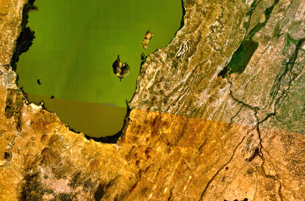
A large area of basaltic cinder cones and lava flows lies within about 5 km of the SE shore of Lake Ziway, and also forms islands along its E shore. About 80 vents were formed along the East Ziway segment of the Wonji Fault Belt. The youngest lava flows have been unaffected by the latest tectonic faulting along the Ethiopian Rift.
Riwayat letusan
GlosariumGaris waktu rinci
Tidak ada catatan letusan.
Gunung api terdekat
Tautan eksternal
- Belum ada di Wikipedia (Bahasa Indonesia). Anda dapat berkontribusi di Wikidata.
- Halaman asli Smithsonian GVP
⚠ Untuk referensi saja. Bukan untuk tanggap darurat.