Kenya · Stratovolkan
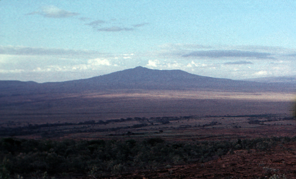
Mount Longonot
Longonot
- Tipe
- Stratovolkan
- Ketinggian
- 2776 m
- Letusan terakhir
- 1863
- Tipe
- Stratovolkan
- Negara
- Kenya
- Wilayah
- Afrika Timur / Kenyan Rift Volcanic Province
- Ketinggian
- 2776 m
- Koordinat
- -0.914, 36.446
- Letusan terakhir
- 1863
- Kondisi tektonik
- Zona rift / Kerak benua (> 25 km)
- Bentuk lahan
- Komposit
- Batuan utama
- Trakit / Trakidasit
Ringkasan geologi
The trachytic Longonot stratovolcano SE of Lake Naivasha in the Gregory Rift valley contains a 8 x 12 km caldera. Formation of the caldera accompanied large explosive eruptions about 21,000 years ago. A large central cone that was constructed within the caldera, which forms the summit, is truncated by a circular, 1.8-km-wide crater. Post-caldera lavas are found on the caldera floor and the volcano's flanks, marking a late stage of effusive eruptions. A well-preserved satellitic cone is located on the NE flank. Masai tradition records a lava flow on the N flank during the 19th century. Similarly youthful-looking lava flows occur on the SW flank.
Riwayat letusan
3 tercatatGlosariumRingkasan (VEI dari waktu ke waktu)
Klik pada bar untuk melihat letusan individu · Gunakan tombol panah untuk berpindah batang, Enter untuk membuka
Garis waktu rinci
- 1863 (±5 tahun)VEI 0Perkiraan geologi1863-07-02 – akhir tidak diketahuiNorthern flank
- 1330 SM (±100 tahun)VEI ?Perkiraan geologi1330 SM – akhir tidak diketahui
- 7200 SM (±100 tahun)VEI ?Perkiraan geologi7200 SM – akhir tidak diketahui
Gunung api terdekat
Tautan eksternal
⚠ Untuk referensi saja. Bukan untuk tanggap darurat.