Niger · Medan gunung api
Todra Volcanic Field
- Tipe
- Medan gunung api
- Ketinggian
- 1780 m
- Letusan terakhir
- Tidak diketahui
- Tipe
- Medan gunung api
- Negara
- Niger
- Wilayah
- Afrika Utara / West Central Sahara Volcanic Province
- Ketinggian
- 1780 m
- Koordinat
- 17.680, 8.500
- Letusan terakhir
- Tidak diketahui
- Kondisi tektonik
- Intralempeng / Kerak benua (> 25 km)
- Bentuk lahan
- Gugusan gunung api
- Batuan utama
- Basal / Pikrobasal
Ringkasan geologi
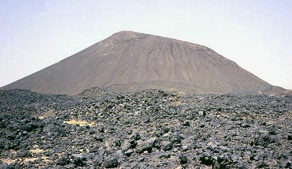
The Todra Volcanic Field covers about 1,000 km2 in the Tuareg shield in the southern Aïr region of Niger. Activity began with the eruption of about 30 trachytic and phonolitic volcanoes through Precambrian basement rocks. This was followed by the formation of about 130 basaltic cones that typically produced valley-filling lava flows. A series of NW-SE faults control cone locations. The date of the latest eruption is not known, but may have been as recent as a few centuries ago.
Riwayat letusan
GlosariumGaris waktu rinci
Tidak ada catatan letusan.
Gunung api terdekat
Tautan eksternal
⚠ Untuk referensi saja. Bukan untuk tanggap darurat.