Sudan · Medan gunung api
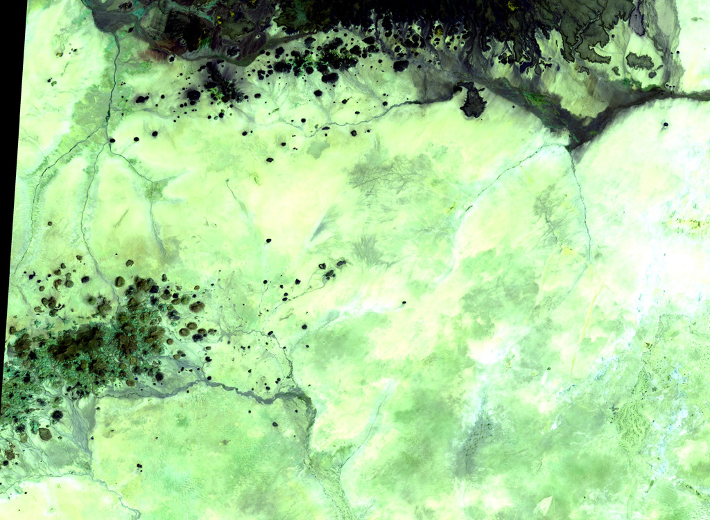
Kutum Volcanic Field
- Tipe
- Medan gunung api
- Ketinggian
- 1779 m
- Letusan terakhir
- Tidak diketahui
- Tipe
- Medan gunung api
- Negara
- Sudan
- Wilayah
- Afrika Utara / Southeast Sahara Volcanic Province
- Ketinggian
- 1779 m
- Koordinat
- 14.570, 25.850
- Letusan terakhir
- Tidak diketahui
- Kondisi tektonik
- Intralempeng / Kerak benua (> 25 km)
- Bentuk lahan
- Gugusan gunung api
- Batuan utama
- Basal / Pikrobasal
Ringkasan geologi
Teks asli bahasa InggrisThe basaltic Kutum volcanic field, in the northern Darfur area of western Sudan, is located SW of the larger Meidob volcanic field.
Kutipan dari Global Volcanism Program, Smithsonian Institution · Baca ringkasan lengkap di GVP →
Riwayat letusan
GlosariumGaris waktu rinci
Tidak ada catatan letusan.
Gunung api terdekat
Tautan eksternal
- Belum ada di Wikipedia (Bahasa Indonesia). Anda dapat berkontribusi di Wikidata.
- Halaman asli Smithsonian GVP
⚠ Untuk referensi saja. Bukan untuk tanggap darurat.