Papua Nugini · Gunung api kompleks
St. Andrew Strait
- Tipe
- Gunung api kompleks
- Ketinggian
- 270 m
- Letusan terakhir
- 1957
- Tipe
- Gunung api kompleks
- Negara
- Papua Nugini
- Wilayah
- Pasifik Barat Daya / Bismarck Sea Volcanic Province
- Ketinggian
- 270 m
- Koordinat
- -2.380, 147.350
- Letusan terakhir
- 1957
- Kondisi tektonik
- Zona subduksi / Kerak samudra (< 15 km)
- Bentuk lahan
- Komposit
- Batuan utama
- Riolit
Ringkasan geologi
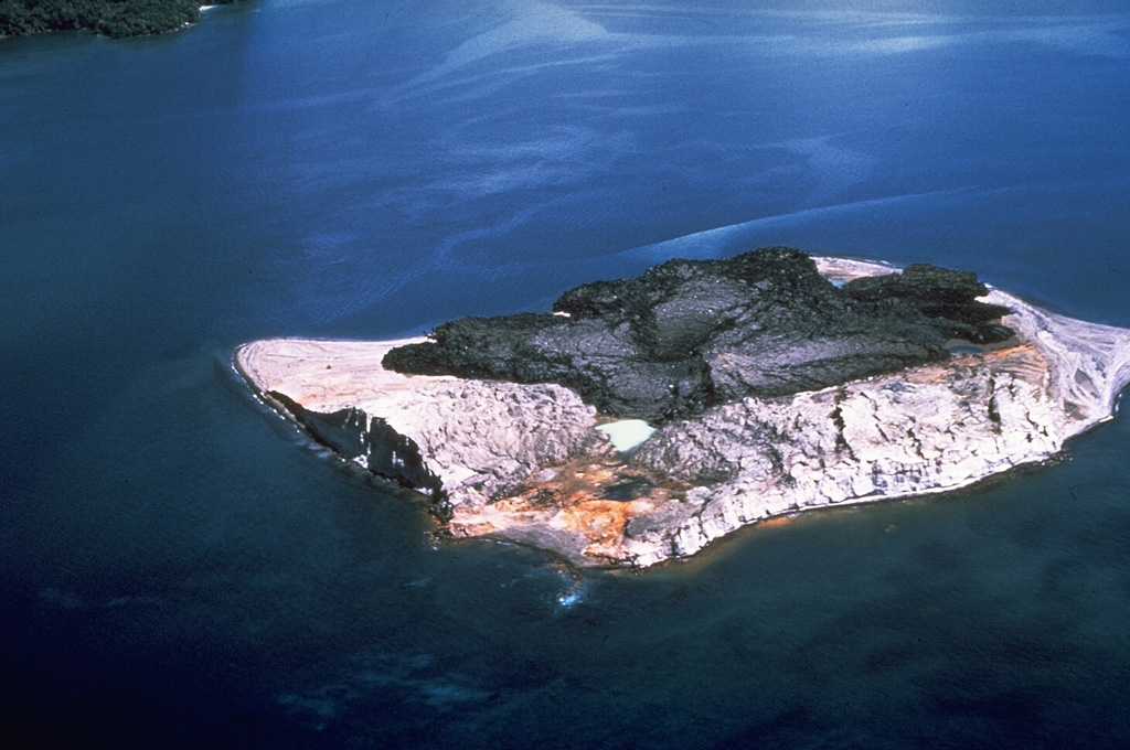
The St. Andrew Strait volcano, located in the Admiralty Islands north of Papua New Guinea, consists of a series of overlapping Quaternary cones formed by rhyolitic lava flows and pyroclastic materials on Lou and Tuluman Islands. Volcanism is aligned on a curved arc extending through the 12-km-long Lou Island. The Tuluman Islands, 1.5 km S of Lou Island, were formed during a 1953-1957 eruption. Pam Lin and Pam Mandian Islands farther to the SE along the same arc contain fresh rhyolitic obsidian similar to that found on Tuluman.
Riwayat letusan
5 tercatatGlosariumRingkasan (VEI dari waktu ke waktu)
Klik pada bar untuk melihat letusan individu · Gunakan tombol panah untuk berpindah batang, Enter untuk membuka
Garis waktu rinci
- 1953VEI 2Teramati1953-06-27 – 1957-01-28Tuluman
- 1931VEI 0Metode tidak dinyatakan1931-07-02 – akhir tidak diketahuiTuluman (?)
- 1883VEI 2Teramati1883-03-28 – akhir tidak diketahuiTuluman
- 350VEI ?Perkiraan geologi350 – akhir tidak diketahuiLou Island (Bedal volcano)
- 240 SM (±100 tahun)VEI ?Perkiraan geologi240 SM – akhir tidak diketahuiLou Island (Bedal volcano)
Gunung api terdekat
Tautan eksternal
⚠ Untuk referensi saja. Bukan untuk tanggap darurat.