Papua Nugini · Medan gunung api
Garua Harbour
- Tipe
- Medan gunung api
- Ketinggian
- 565 m
- Letusan terakhir
- Tidak diketahui
- Tipe
- Medan gunung api
- Negara
- Papua Nugini
- Wilayah
- Pasifik Barat Daya / Bismarck Volcanic Arc
- Ketinggian
- 565 m
- Koordinat
- -5.300, 150.070
- Letusan terakhir
- Tidak diketahui
- Kondisi tektonik
- Zona subduksi / Kerak benua (> 25 km)
- Bentuk lahan
- Gugusan gunung api
- Batuan utama
- Riolit
Ringkasan geologi
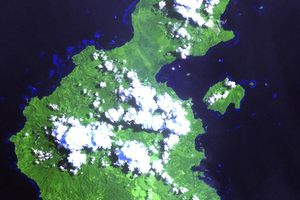
The Garua (Talasea) Harbour volcanic field consists of a group of lava domes and ash cones of possible Holocene age. These volcanic vents ring the harbor on the west and form Garua Island to the east. Much of the volcanic field, including the two lava domes on Garua Island, consists of rhyolitic rocks. Active hot springs ring the shores of Garua Harbour and are best developed on the north and south sides. Large boiling pools, fumaroles, and small geysers are found on the north shore near Pangalu village. Another large group of boiling pools, fumaroles, and mudpots is located near the Talasea Government Station on the south shore of the bay.
Riwayat letusan
GlosariumGaris waktu rinci
Tidak ada catatan letusan.
Gunung api terdekat
Tautan eksternal
- Belum ada di Wikipedia (Bahasa Indonesia). Anda dapat berkontribusi di Wikidata.
- Halaman asli Smithsonian GVP
⚠ Untuk referensi saja. Bukan untuk tanggap darurat.