Papua Nugini · Kubah lava
Iamalele
- Tipe
- Kubah lava
- Ketinggian
- 194 m
- Letusan terakhir
- Tidak diketahui
- Tipe
- Kubah lava
- Negara
- Papua Nugini
- Wilayah
- Pasifik Barat Daya / Trobriand Volcanic Province
- Ketinggian
- 194 m
- Koordinat
- -9.506, 150.524
- Letusan terakhir
- Tidak diketahui
- Kondisi tektonik
- Zona subduksi / Kerak benua (> 25 km)
- Bentuk lahan
- Gugusan gunung api
- Batuan utama
- Andesit / Andesit basaltik
Ringkasan geologi
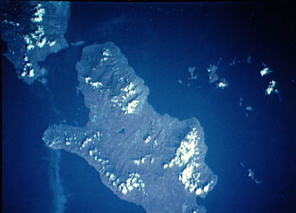
Multiple volcanic features and active thermal areas are located on the SW part of Fergusson Island, in the center of the D'Entrecasteaux island group. The Iamalele-Fagululu area contains a series of lava domes and lava flows of probable Holocene age in association with abundant hot springs and fumaroles (Smith, 1981). Two small lava domes are located near Fagululu village, the larger of which is a flat-topped, obsidian-bearing rhyolitic dome. Six other lava domes are clustered around Salt Lake on the W side of the area. Hot springs, boiling springs, fumaroles, and mud pools are found in an area of siliceous sinter near Iamalele village.
Riwayat letusan
GlosariumGaris waktu rinci
Tidak ada catatan letusan.
Gunung api terdekat
Tautan eksternal
- Belum ada di Wikipedia (Bahasa Indonesia). Anda dapat berkontribusi di Wikidata.
- Halaman asli Smithsonian GVP
⚠ Untuk referensi saja. Bukan untuk tanggap darurat.