Indonesia · Stratovolkan
Perbakti-Gagak
- Tipe
- Stratovolkan
- Ketinggian
- 1726 m
- Letusan terakhir
- 1939
- Tipe
- Stratovolkan
- Negara
- Indonesia
- Wilayah
- Sunda & Banda / Sunda Volcanic Arc
- Ketinggian
- 1726 m
- Koordinat
- -6.750, 106.675
- Letusan terakhir
- 1939
- Kondisi tektonik
- Zona subduksi / Kerak benua (> 25 km)
- Bentuk lahan
- Komposit
- Batuan utama
- Andesit / Andesit basaltik
Ringkasan geologi
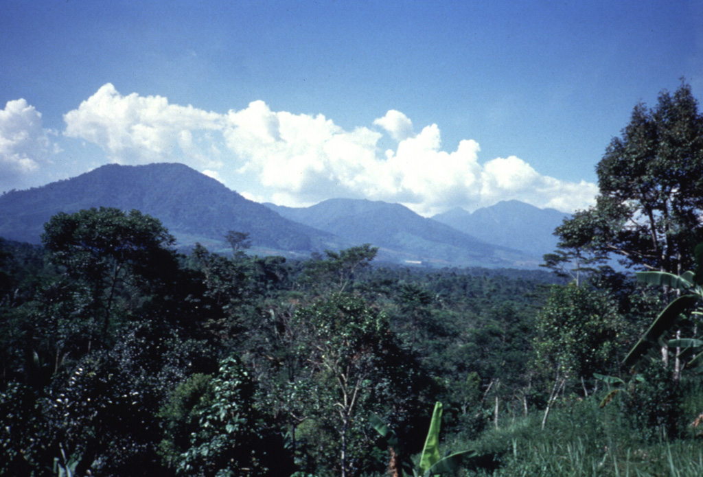
The Perbakti-Gagak volcanic complex, also known as Kiaraberes-Gagak, is a cluster of deeply eroded stratovolcanoes situated immediately SW of Salak volcano. The summit ridge of Gunung Perbakti is elongated in a NW-SE direction, and Gunung Endut volcano rises above a saddle to its SW. Gunung Gagak, to the NW, is capped by pumice and obsidian, with obsidian lava flows extending N and NE. Quaternary rhyolitic lava domes form a NNE-trending chain at the eastern side of the complex. Two 2-km-wide depressions on the northern and southern sides of Perbakti form the headwaters of the Kaluwung Herang and Pamatutan rivers, respectively. The complex is marked by vigorous geothermal activity. Fumaroles, mud pots, and hot springs are located on the S and SE flanks of Perbakti and at the Kiaraberes area, which includes the commercial geothermal field of Awibengkok. Mild phreatic eruptions took place during the Holocene into historical time from flank fumarolic fields.
Riwayat letusan
7 tercatatGlosariumGaris waktu rinci
- 1939VEI 1Teramati1939-04-06 – akhir tidak diketahuiKawah Parabakti
- 1938VEI 1Teramati1938-12-16 – akhir tidak diketahuiKawah Parabakti
- 1936VEI 1Teramati1936-10-26 – 1936-10-28Cipanas Parabakti
- 1935VEI 1Teramati1935-05-31 – akhir tidak diketahuiKawah Cibodas
- 1929VEI 1Teramati1929-07-02 – akhir tidak diketahuiCibeureum West
- 1923VEI 1Teramati1923-06-16 – akhir tidak diketahuiKawah Cibodas
- 6450 SMVEI ?Perkiraan geologi6450 SM – akhir tidak diketahuiKiaraberes
Gunung api terdekat
Tautan eksternal
- Belum ada di Wikipedia (Bahasa Indonesia). Anda dapat berkontribusi di Wikidata.
- Halaman asli Smithsonian GVP
⚠ Untuk referensi saja. Bukan untuk tanggap darurat.