Jepang · Kaldera
Kita-Bayonnaise
- Tipe
- Kaldera
- Ketinggian
- 360 m (bawah laut)
- Letusan terakhir
- Tidak diketahui
- Tipe
- Kaldera
- Negara
- Jepang
- Wilayah
- Pasifik Barat Laut / Izu Volcanic Arc
- Ketinggian
- 360 m (bawah laut)
- Koordinat
- 32.100, 139.850
- Letusan terakhir
- Tidak diketahui
- Kondisi tektonik
- Zona subduksi / Kerak samudra (< 15 km)
- Bentuk lahan
- Kaldera
- Batuan utama
- Riolit
Ringkasan geologi
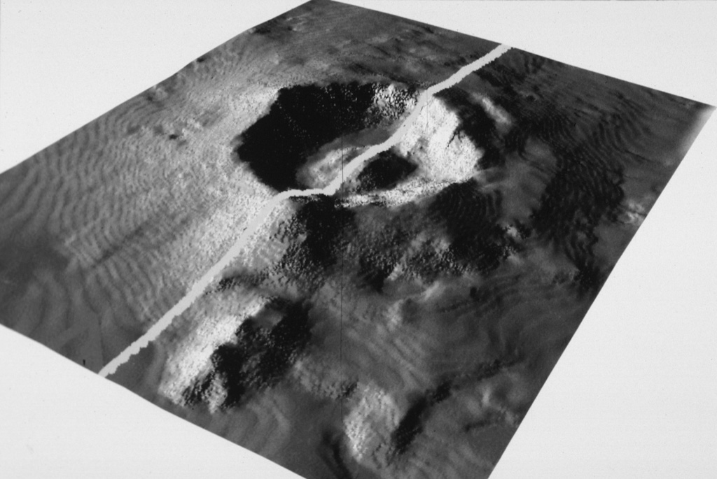
Teks asli bahasa InggrisThe large submarine Kita-Bayonnaise (North Bayonnaise) submarine caldera, also known as Myojin Knoll, lies between the Aogashima and Myojinsho (also called Beyonesu Rocks) calderas about 300 km SSE of the Izu Peninsula.
Kutipan dari Global Volcanism Program, Smithsonian Institution · Baca ringkasan lengkap di GVP →
Riwayat letusan
GlosariumGaris waktu rinci
Tidak ada catatan letusan.
Gunung api terdekat
Tautan eksternal
- Belum ada di Wikipedia (Bahasa Indonesia). Anda dapat berkontribusi di Wikidata.
- Halaman asli Smithsonian GVP
⚠ Untuk referensi saja. Bukan untuk tanggap darurat.