Jepang (diadministrasikan oleh Rusia) · Stratovolkan
Tebenkova
Odamoisan [Tebenkov]
- Tipe
- Stratovolkan
- Ketinggian
- 1208 m
- Letusan terakhir
- Tidak diketahui
- Tipe
- Stratovolkan
- Negara
- Jepang (diadministrasikan oleh Rusia)
- Wilayah
- Pasifik Barat Laut / Kuril Volcanic Arc
- Ketinggian
- 1208 m
- Koordinat
- 45.029, 147.917
- Letusan terakhir
- Tidak diketahui
- Kondisi tektonik
- Zona subduksi / Kerak menengah (15-25 km)
- Bentuk lahan
- Komposit
Ringkasan geologi
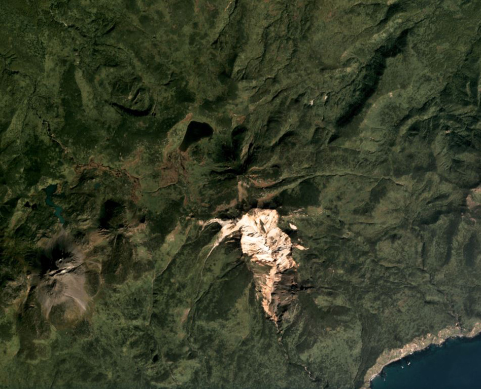
Odamoisan (also known as Tebenkov), lies in the center of Iturup Island along the E coast. This forested andesitic volcano is ~4 km NE of the Etorofu-Yakeyama (Ivan Grozny) dome complex. A large eroded valley on the S side, named the Machekh crater, displays strong fumarolic activity and heavily altered surface deposts. There have been no observed eruptions.
Riwayat letusan
GlosariumGaris waktu rinci
Tidak ada catatan letusan.
Gunung api terdekat
Tautan eksternal
- Belum ada di Wikipedia (Bahasa Indonesia). Anda dapat berkontribusi di Wikidata.
- Halaman asli Smithsonian GVP
⚠ Untuk referensi saja. Bukan untuk tanggap darurat.