Rusia · Stratovolkan
Koshelev
- Tipe
- Stratovolkan
- Ketinggian
- 1822 m
- Letusan terakhir
- 1690
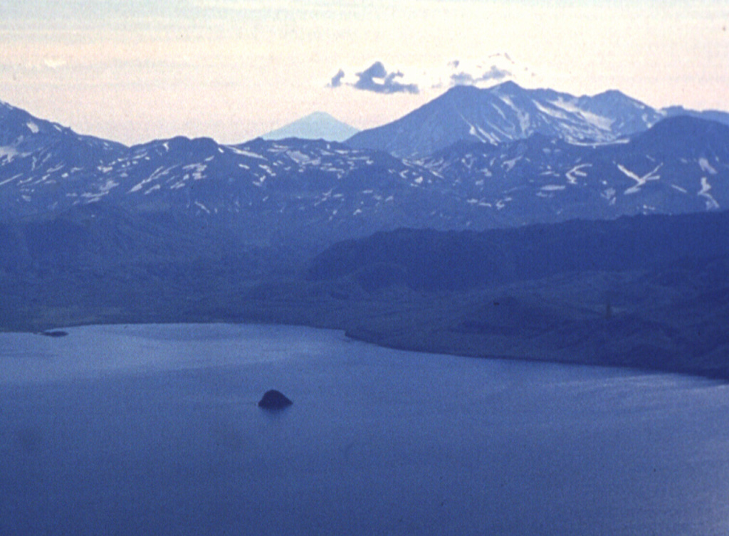
- Tipe
- Stratovolkan
- Negara
- Rusia
- Wilayah
- Pasifik Barat Laut / Kuril Volcanic Arc
- Ketinggian
- 1822 m
- Koordinat
- 51.356, 156.753
- Letusan terakhir
- 1690
- Kondisi tektonik
- Zona subduksi / Kerak benua (> 25 km)
- Bentuk lahan
- Komposit
- Batuan utama
- Basal / Pikrobasal
Ringkasan geologi
Teks asli bahasa InggrisKoshelev is at the southern end of the Kamchatka Peninsula, SW of the Pauzhetka volcano-tectonic depression and NW of Kambalny volcano.
Kutipan dari Global Volcanism Program, Smithsonian Institution · Baca ringkasan lengkap di GVP →
Ringkasan Wikipedia
Ringkasan InggrisKoshelev is a complex stratovolcano located in the southern part of Kamchatka Peninsula, Russia.
Wikipedia · CC BY-SA · Lanjutkan membaca di Wikipedia bahasa Inggris →
Riwayat letusan
5 tercatatGlosariumRingkasan catatan
- Letusan terkonfirmasi
- 4
- Letusan tidak pasti
- 1
- Rentang catatan terkonfirmasi
- 4550 SM – 1690
- Letusan terkonfirmasi terbesar
- VEI 3 (1690)
- Letusan terkonfirmasi sejak 1900
- 0
Ringkasan (VEI dari waktu ke waktu)
Klik pada bar untuk melihat letusan individu · Gunakan tombol panah untuk berpindah batang, Enter untuk membuka
Garis waktu rinci
- 1741VEI ?Metode tidak dinyatakan1741 – akhir tidak diketahui
- 1690 (±10 tahun)VEI 3Teramati1690 – akhir tidak diketahuiSE flank
- 1350 SMVEI ?Perkiraan geologi1350 SM – akhir tidak diketahuiNorthern flank
- 4050 SMVEI ?Perkiraan geologi4050 SM – akhir tidak diketahuiNW flank (Gorely)
- 4550 SMVEI ?Perkiraan geologi4550 SM – akhir tidak diketahuiEastern cone
Gunung api terdekat
Tautan eksternal
⚠ Untuk referensi saja. Bukan untuk tanggap darurat.