Rusia · Stratovolkan
Komarov
- Tipe
- Stratovolkan
- Ketinggian
- 2065 m
- Letusan terakhir
- 950
- Tipe
- Stratovolkan
- Negara
- Rusia
- Wilayah
- Pasifik Barat Laut / Eastern Kamchatka Volcanic Arc
- Ketinggian
- 2065 m
- Koordinat
- 55.033, 160.725
- Letusan terakhir
- 950
- Kondisi tektonik
- Zona subduksi / Kerak benua (> 25 km)
- Bentuk lahan
- Komposit
- Batuan utama
- Basal / Pikrobasal
Ringkasan geologi
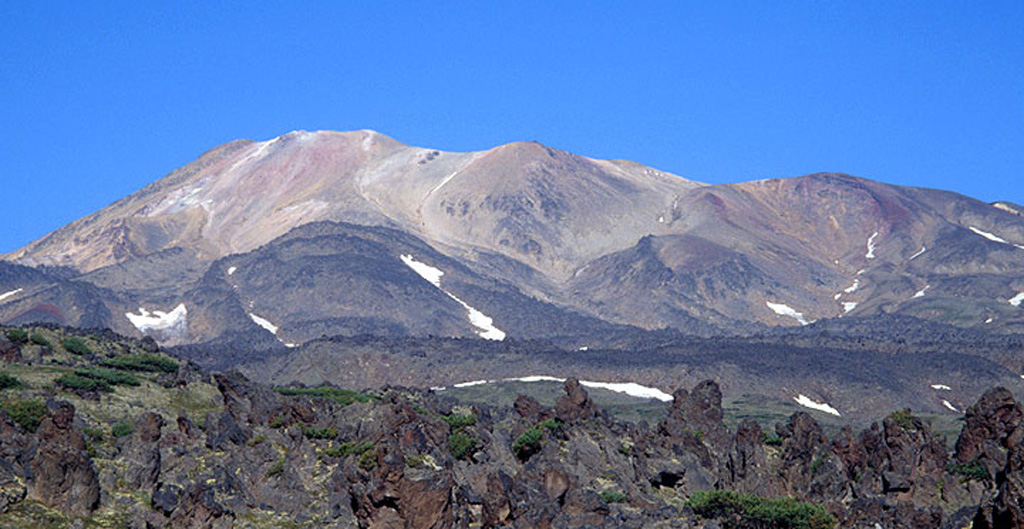
Komarov volcano is a complex structure along the Gamchen ridge. The summit area includes two irregular craters ~300m in diameter. Lengthy Holocene lava flows extend to the east and west. Growth began about 1,500 years ago following cessation of activity at Vysoky volcano. No reported eruptions are known, but the summit region has undergone extensive hydrothermal alteration, and fumarolic areas occur there and on the northern and southern flanks.
Ringkasan Wikipedia
Ringkasan InggrisKomarov is an inactive stratovolcano located in the southeastern part of the Kamchatka Peninsula, Russia. It was named after Vladimir L. Komarov.
Wikipedia · CC BY-SA · Baca artikel lengkap →
Riwayat letusan
2 tercatatGlosariumRingkasan (VEI dari waktu ke waktu)
Klik pada bar untuk melihat letusan individu · Gunakan tombol panah untuk berpindah batang, Enter untuk membuka
Garis waktu rinci
- 950VEI ?Perkiraan geologi950 – akhir tidak diketahui
- 450VEI 0Perkiraan geologi450 – akhir tidak diketahui
Gunung api terdekat
Tautan eksternal
⚠ Untuk referensi saja. Bukan untuk tanggap darurat.