Rusia · Kerucut piroklastik
Cherpuk Group
- Tipe
- Kerucut piroklastik
- Ketinggian
- 1868 m
- Letusan terakhir
- -4550
- Tipe
- Kerucut piroklastik
- Negara
- Rusia
- Wilayah
- Pasifik Barat Laut / Central Kamchatka Volcanic Arc
- Ketinggian
- 1868 m
- Koordinat
- 55.550, 157.470
- Letusan terakhir
- -4550
- Kondisi tektonik
- Zona subduksi / Kerak benua (> 25 km)
- Bentuk lahan
- Kecil
- Batuan utama
- Andesit / Andesit basaltik
Ringkasan geologi
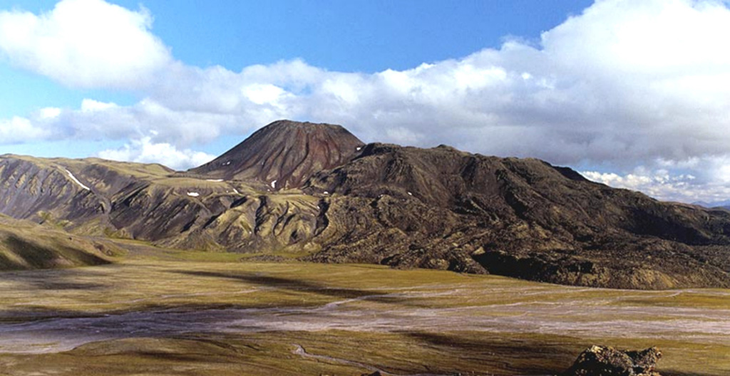
Severny Cherpuk (South Cherpuk) and Yuzhny Cherpuk (North Cherpuk) are two cinder cones SW of Ichinsky volcano that comprise the largest monogenetic volcanoes of the Sredinny Range. Severny Cherpuk, 21 km SW of Ichinsky, is a double cone that fed 1.8 km3 lava flows down both sides of the range to the NW and SE. A narrow tongue of the SE flow diverted an additional 10 km S, for a total distance of 22 km. Yuzhny Cherpuk, 11 km SSW of Ichinsky, produced a 1.7 km3 lava flow that traveled 18 km S and then SE. The flow descended to 640 m elevation and dammed tributaries of the Ketachan River, producing three lakes. The two cones are sometimes considered to be satellitic cones to Ichinsky, but Pevzner et al. (2000) noted petrological distinctions that suggest an independent origin. Unpublished radiocarbon ages revise those in Pevzner et al. (2000) and indicate that both cones were formed about 6,500 years ago.
Ringkasan Wikipedia
Ringkasan InggrisCherpuk Group is a group of two cinder cones located in the central part of Kamchatka Peninsula, Russia. It is a group of a few mostly dormant cinder cones.
Wikipedia · CC BY-SA · Baca artikel lengkap →
Riwayat letusan
1 tercatatGlosariumGaris waktu rinci
- 4550 SMVEI ?Perkiraan geologi4550 SM – akhir tidak diketahuiNorth and South Cherpuk
Gunung api terdekat
Tautan eksternal
⚠ Untuk referensi saja. Bukan untuk tanggap darurat.