Tiongkok · Medan gunung api
Wudalianchi
- Tipe
- Medan gunung api
- Ketinggian
- 597 m
- Letusan terakhir
- 1776
- Tipe
- Medan gunung api
- Negara
- Tiongkok
- Wilayah
- Asia Timur / Central East Asia Volcanic Province
- Ketinggian
- 597 m
- Koordinat
- 48.722, 126.150
- Letusan terakhir
- 1776
- Kondisi tektonik
- Intralempeng / Kerak benua (> 25 km)
- Bentuk lahan
- Gugusan gunung api
- Batuan utama
- Trakibasal / Tefrit basanit
Ringkasan geologi
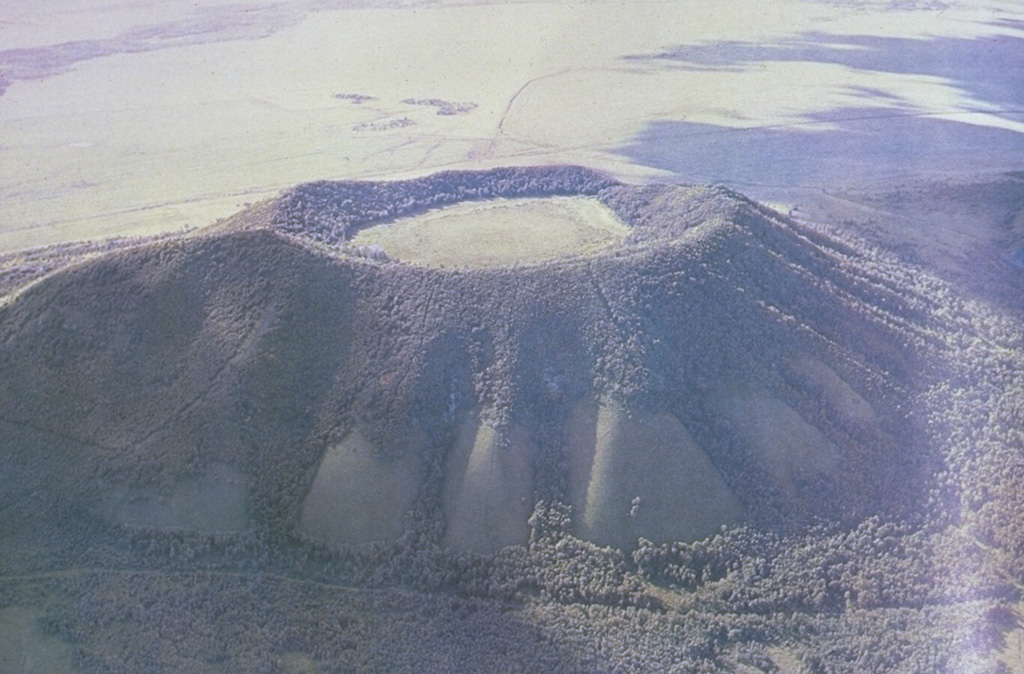
The Wudalianchi volcanic field, named for a string of five scenic lava-dammed lakes, consists of 14 cinder cones capping a 500 km2 shield-like lava plateau in NE China. The volcanic field, whose name means "Five Connected Pools" was formed during five eruptive cycles from the early Pleistocene to historical time. Its ancient name was "Nine Hills," which after the historical eruptions now number 14 hills. The cinder cones were erupted through basement sedimentary and granitic rocks and show a preferred alignment along three chains at the intersection of NE- and NW-trending lineaments. In addition to the historical cinder cones of Laoheishan and Huoshaoshan, Xilongmenshan and Donglongmenshan are Holocene in age. The freshly preserved cones of Laoheishan and Huoshaoshan were formed during eruptions in 1720-21. Fissures at the base of the two new cinder cones fed glassy pahoehoe and aa lava flows that covered 65 km2 and formed the five lakes of Wudalianchi at their eastern and northern margins. Renewed eruptions took place in 1776.
Riwayat letusan
2 tercatatGlosariumGaris waktu rinci
- 1776VEI 2Teramati1776 – akhir tidak diketahuiLaoheishan
- 1720VEI 3Teramati1720-01-14 – 1721-06Laoheishan and Huoshaoshan
Gunung api terdekat
Tautan eksternal
- Belum ada di Wikipedia (Bahasa Indonesia). Anda dapat berkontribusi di Wikidata.
- Halaman asli Smithsonian GVP
⚠ Untuk referensi saja. Bukan untuk tanggap darurat.