Amerika Serikat · Stratovolkan
Dutton
- Tipe
- Stratovolkan
- Ketinggian
- 1465 m
- Letusan terakhir
- Tidak diketahui
- Tipe
- Stratovolkan
- Negara
- Amerika Serikat
- Wilayah
- Amerika Utara / Aleutian Ridge Volcanic Arc
- Ketinggian
- 1465 m
- Koordinat
- 55.183, -162.276
- Letusan terakhir
- Tidak diketahui
- Kondisi tektonik
- Zona subduksi / Kerak benua (> 25 km)
- Bentuk lahan
- Komposit
- Batuan utama
- Andesit / Andesit basaltik
Ringkasan geologi
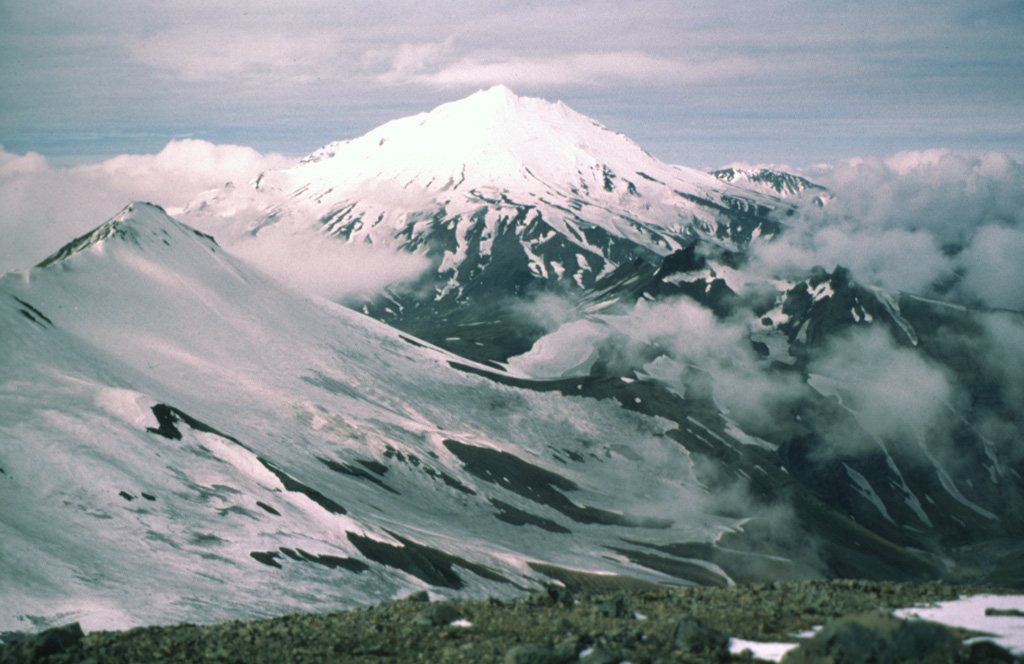
The Mount Dutton volcanic center east of Cold Bay near the tip of the Alaska Peninsula consists of a glacier-covered central lava dome complex. Early andesitic lava flows and late-stage dacitic domes have been partially removed by one or more edifice collapses about 5100-6800 years ago. Debris avalanches traveled west and south, reaching Belkofski Bay. The important regional fishing center of King Cove lies less than 15 km from the volcano, and the village's airstrip is built on top of the southern avalanche deposit. A steep-sided complex of lava domes forms the summit, and young block-and-ash flow deposits extend to the east. Two small unglaciated lava domes on the NE flank 3.5 km from the summit are also of Holocene age. Major earthquake swarms near the volcano were recorded in 1984-85 and 1988.
Riwayat letusan
GlosariumGaris waktu rinci
Tidak ada catatan letusan.
Gunung api terdekat
Tautan eksternal
- Belum ada di Wikipedia (Bahasa Indonesia). Anda dapat berkontribusi di Wikidata.
- Halaman asli Smithsonian GVP
⚠ Untuk referensi saja. Bukan untuk tanggap darurat.