Amerika Serikat · Medan gunung api
Stepovak Bay Group
- Tipe
- Medan gunung api
- Ketinggian
- 1633 m
- Letusan terakhir
- Tidak diketahui
- Tipe
- Medan gunung api
- Negara
- Amerika Serikat
- Wilayah
- Amerika Utara / Aleutian Ridge Volcanic Arc
- Ketinggian
- 1633 m
- Koordinat
- 55.917, -160.017
- Letusan terakhir
- Tidak diketahui
- Kondisi tektonik
- Zona subduksi / Kerak benua (> 25 km)
- Bentuk lahan
- Gugusan gunung api
Ringkasan geologi
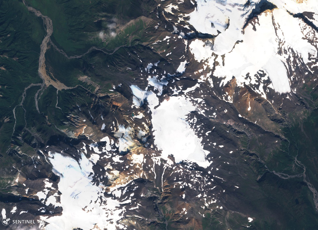
Teks asli bahasa InggrisThe Stepovak Bay Group is a chain of four cones, extending over a distance of 18 km, just SW of Kupreanof volcano.
Kutipan dari Global Volcanism Program, Smithsonian Institution · Baca ringkasan lengkap di GVP →
Riwayat letusan
GlosariumGaris waktu rinci
Tidak ada catatan letusan.
Gunung api terdekat
Tautan eksternal
- Belum ada di Wikipedia (Bahasa Indonesia). Anda dapat berkontribusi di Wikidata.
- Halaman asli Smithsonian GVP
⚠ Untuk referensi saja. Bukan untuk tanggap darurat.