Amerika Serikat · Medan gunung api
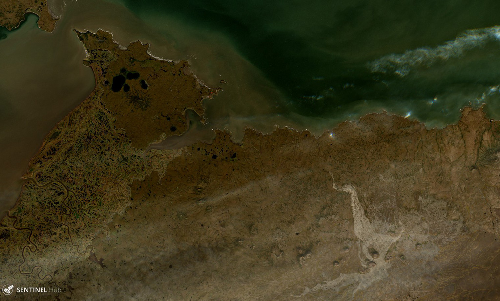
St. Michael volcanic field
St. Michael
- Tipe
- Medan gunung api
- Ketinggian
- 715 m
- Letusan terakhir
- Tidak diketahui
- Tipe
- Medan gunung api
- Negara
- Amerika Serikat
- Wilayah
- Amerika Utara / Northern Alaska-Bering Sea Volcanic Province
- Ketinggian
- 715 m
- Koordinat
- 63.450, -162.120
- Letusan terakhir
- Tidak diketahui
- Kondisi tektonik
- Intralempeng / Kerak benua (> 25 km)
- Bentuk lahan
- Gugusan gunung api
- Batuan utama
- Basal / Pikrobasal
Ringkasan geologi
The St. Michael volcanic field, at the south end of Norton Sound, includes more than 55 cones and craters on St. Michael and Stuart islands. Broad low shield volcanoes underlie the younger cones, and maars are located at the SW part of the field, which covers over 3,000 km2 and extends inland along the Golsovia and Kogok rivers. The youngest activity is of Holocene age, and native tradition says that a village was submerged by lava three times (Dall, 1870).
Ringkasan Wikipedia
Ringkasan InggrisThe St. Michael volcanic field is a volcanic field located on St. Michael and Stuart Islands in western Alaska, United States. It contains 55 cones and craters, including low broad shield volcanoes and maars. It is considered part of the Bering Sea Volcanic Province.
Wikipedia · CC BY-SA · Baca artikel lengkap →
Riwayat letusan
GlosariumGaris waktu rinci
Tidak ada catatan letusan.
Gunung api terdekat
Tautan eksternal
⚠ Untuk referensi saja. Bukan untuk tanggap darurat.