Amerika Serikat · Cincin tufa
Buzzard Creek
- Tipe
- Cincin tufa
- Ketinggian
- 830 m
- Letusan terakhir
- -1050
- Tipe
- Cincin tufa
- Negara
- Amerika Serikat
- Wilayah
- Amerika Utara / Alaska Peninsula Volcanic Arc
- Ketinggian
- 830 m
- Koordinat
- 64.062, -148.433
- Letusan terakhir
- -1050
- Kondisi tektonik
- Zona subduksi / Kerak benua (> 25 km)
- Bentuk lahan
- Kecil (basaltik)
- Batuan utama
- Basal / Pikrobasal
Ringkasan geologi
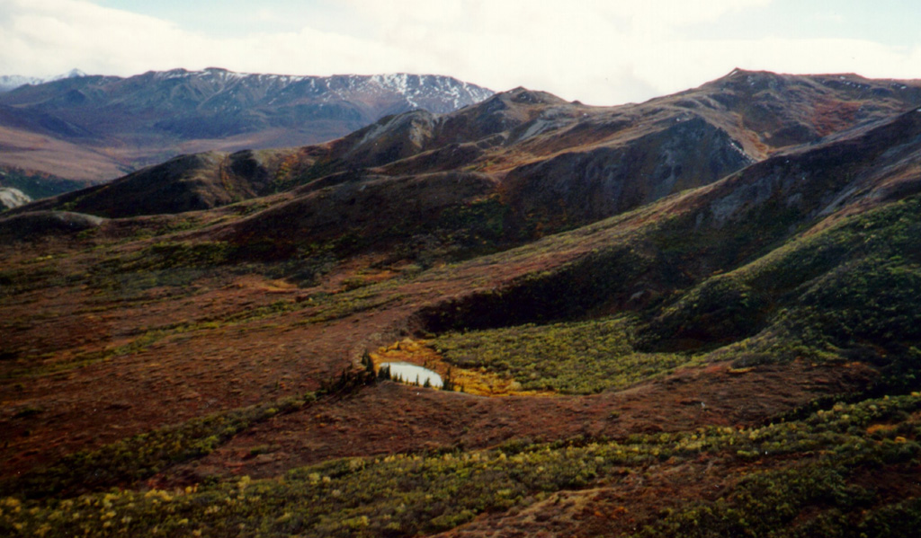
Two Holocene tuff rings form craters 300 and 66 m wide near the headwaters of Buzzard Creek at the northern foot of the central Alaska Range NE of the town of Healy along the Parks Highway. Both contain small lakes, and the smaller ring is about 200 m SE of the larger one. The total volume of ejecta, most of which is accessory material, probably does not exceed 0.001 km3. The ejecta overlies young glacial terraces that correlate with a glacial stage that ended about 10,000 years ago, and radiocarbon dates give an age for the eruption that formed the tuff rings of about 3,000 years. This minor volcanic feature lies along trend with the Aleutian arc, but is located 320 km NE of its nearest Holocene neighbor (Hayes volcano), and directly over the northernmost corner of the subducting Pacific Plate.
Ringkasan Wikipedia
Ringkasan InggrisThe Buzzard Creek craters are two tuff rings near Healy, Alaska, United States. Its highest point is 2,723 ft.
Wikipedia · CC BY-SA · Baca artikel lengkap →
Riwayat letusan
1 tercatatGlosariumGaris waktu rinci
- 1050 SMVEI 2Perkiraan geologi1050 SM – akhir tidak diketahui
Gunung api terdekat
Tautan eksternal
⚠ Untuk referensi saja. Bukan untuk tanggap darurat.