Kanada · Medan gunung api
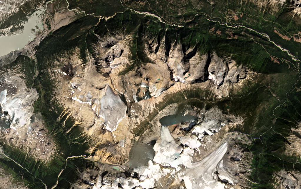
Bridge River Cones
- Tipe
- Medan gunung api
- Ketinggian
- 2500 m
- Letusan terakhir
- Tidak diketahui
- Tipe
- Medan gunung api
- Negara
- Kanada
- Wilayah
- Amerika Utara / Garibaldi Volcanic Arc
- Ketinggian
- 2500 m
- Koordinat
- 50.800, -123.400
- Letusan terakhir
- Tidak diketahui
- Kondisi tektonik
- Zona subduksi / Kerak benua (> 25 km)
- Bentuk lahan
- Gugusan gunung api
- Batuan utama
- Basal / Pikrobasal
Ringkasan geologi
Teks asli bahasa InggrisThe Bridge River Cones volcanic field consists of a group of small basaltic and trachybasaltic eruptive centers at the extreme northern end of the Garibaldi volcanic belt in SW British Columbia.
Kutipan dari Global Volcanism Program, Smithsonian Institution · Baca ringkasan lengkap di GVP →
Ringkasan Wikipedia
Ringkasan InggrisThe Bridge River Cones, sometimes referred to as the Lillooet Cones and Salal Creek Cones, is the name given to a volcanic field located on the north flank of the upper Bridge River, about 40 km (25 mi) west of the town of Gold Bridge.
Wikipedia · CC BY-SA · Lanjutkan membaca di Wikipedia bahasa Inggris →
Riwayat letusan
GlosariumGaris waktu rinci
Tidak ada catatan letusan.
Gunung api terdekat
Tautan eksternal
⚠ Untuk referensi saja. Bukan untuk tanggap darurat.