Amerika Serikat · Medan gunung api
Red Hill volcanic field
Red Hill-Quemado
- Tipe
- Medan gunung api
- Ketinggian
- 2300 m
- Letusan terakhir
- -9450
- Tipe
- Medan gunung api
- Negara
- Amerika Serikat
- Wilayah
- Amerika Utara / Basin and Range Volcanic Province
- Ketinggian
- 2300 m
- Koordinat
- 34.250, -108.830
- Letusan terakhir
- -9450
- Kondisi tektonik
- Zona rift / Kerak benua (> 25 km)
- Bentuk lahan
- Gugusan gunung api
- Batuan utama
- Basal / Pikrobasal
Ringkasan geologi
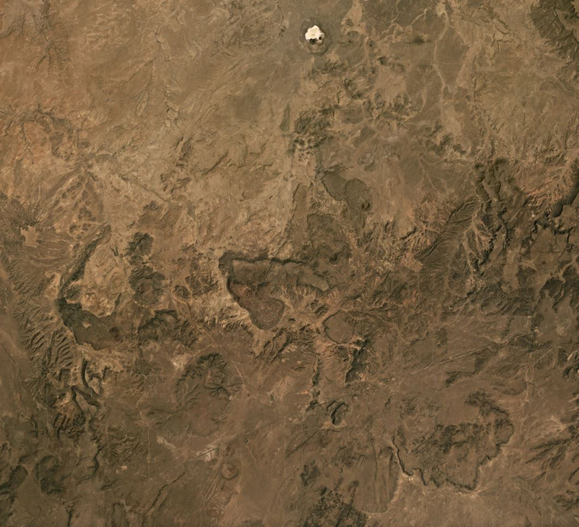
The Red Hill-Quemado volcanic field in western New Mexico is across the border from the Springerville volcanic field in Arizona and contains more than 40 cinder cones and maars that were active from the late Miocene to early Holocene. The volcanic field lies along the NE-trending Jemez Lineament that extends from SE Colorado to east-central Arizona. Dating by Onken and Forman (2017) showed that three eruptive events took place during the early Holocene, and that the 2-km-wide Zuni Salt Lake maar with its late-stage nested cinder cones was formed about 11,000-11,800 calibrated 14C years ago.
Riwayat letusan
3 tercatatGlosariumRingkasan (VEI dari waktu ke waktu)
Klik pada bar untuk melihat letusan individu · Gunakan tombol panah untuk berpindah batang, Enter untuk membuka
Garis waktu rinci
- 9450 SM (±400 tahun)VEI ?Perkiraan geologi9450 SM – akhir tidak diketahuiZuni Salt Lake maar
- 9700 SM (±450 tahun)VEI ?Perkiraan geologi9700 SM – akhir tidak diketahui2.5 km radius of Zuni Salt Lake
- 9850 SM (±500 tahun)VEI ?Perkiraan geologi9850 SM – akhir tidak diketahuiCerro Pomo?
Gunung api terdekat
- Zuni-Bandera volcanic fieldMedan gunung api · sejauh 98 km
- Carrizozo MalpaisKerucut piroklastik · sejauh 272 km
- San Francisco Volcanic FieldMedan gunung api · sejauh 287 km
- Uinkaret volcanic fieldMedan gunung api · sejauh 456 km
- Markagunt PlateauMedan gunung api · sejauh 507 km
- Pinacate PeaksMedan gunung api · sejauh 510 km
Tautan eksternal
⚠ Untuk referensi saja. Bukan untuk tanggap darurat.