Ekuador · Stratovolkan
Soche
- Tipe
- Stratovolkan
- Ketinggian
- 3955 m
- Letusan terakhir
- -6650
- Tipe
- Stratovolkan
- Negara
- Ekuador
- Wilayah
- Amerika Selatan / Northern Andean Volcanic Arc
- Ketinggian
- 3955 m
- Koordinat
- 0.552, -77.580
- Letusan terakhir
- -6650
- Kondisi tektonik
- Zona subduksi / Kerak benua (> 25 km)
- Bentuk lahan
- Komposit
- Batuan utama
- Dasit
Ringkasan geologi
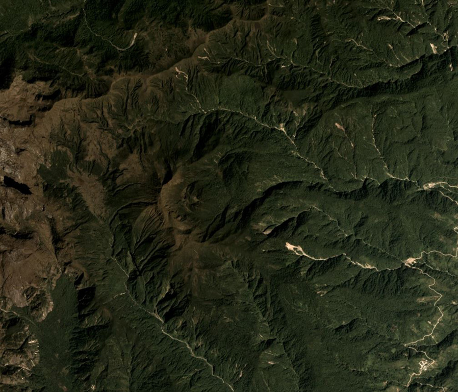
Volcán el Soche, a small stratovolcano near the Colombia border, is the northernmost of a chain of Ecuadorian volcanoes east of the principal volcanic axis. This dominantly dacitic volcano was constructed over Paleozoic rocks and has a summit caldera open to the E. A major explosive eruption took place during the early Holocene at about 8600 years BP, depositing tephra NW into Colombia. The ejection of voluminous dacitic airfall pumice and pyroclastic flows was followed by the formation of two lava domes in the caldera.
Ringkasan Wikipedia
Ringkasan InggrisSoche is a 3,955-metre-high (12,976 ft) dacitic volcano in Ecuador and is located on the northern end of a secondary volcanic chain. Constructed on a Paleozoic substratum, it contains an eastwards-opening caldera in the summit region. A large eruption in 6650 BCE generated ashfall into Colombia and two lava domes in the caldera. The ash- and lapilli-fall is about a metre thick in the Interandean valley and the neighbouring cordilleras and most likely represented a long-lasting obstacle for human population. Earlier eruptive events involving a lava flow that was subsequently offset by a fault zone named the Cayambe-Chingual fault by 110m occurred 9.67 ka BP, and another involving a pyroclastic flow was dated at 37.22 ± 0.63 ka BP.
Wikipedia · CC BY-SA · Baca artikel lengkap →
Riwayat letusan
1 tercatatGlosariumGaris waktu rinci
- 6650 SMVEI 5Perkiraan geologi6650 SM – akhir tidak diketahui
Gunung api terdekat
Tautan eksternal
⚠ Untuk referensi saja. Bukan untuk tanggap darurat.