Cile · Medan gunung api
Cayutue-La Vigueria
- Tipe
- Medan gunung api
- Ketinggian
- 506 m
- Letusan terakhir
- -190
- Tipe
- Medan gunung api
- Negara
- Cile
- Wilayah
- Amerika Selatan / Southern Andean Volcanic Arc
- Ketinggian
- 506 m
- Koordinat
- -41.300, -72.270
- Letusan terakhir
- -190
- Kondisi tektonik
- Zona subduksi / Kerak benua (> 25 km)
- Bentuk lahan
- Gugusan gunung api
- Batuan utama
- Basal / Pikrobasal
Ringkasan geologi
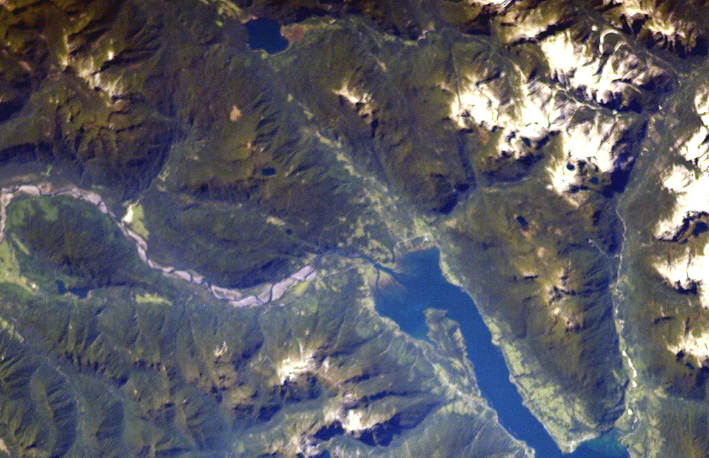
The Cayutué-La Viguería volcanic field consists of about 20 basaltic maars and cinder cones of Holocene age along the N-S-trending Liquiñe-Ofqui fault zone. The field occupies a low-lying area between the southern end of Ensenada Cayutué (the southern extension of Lake Todos los Santos) and the northern end of the Estuario Reloncaví. La Viguería and Volcán Cayutué are the principal cones. Formation of La Viguería and associated lava flows temporarily dammed the Río Petrohué about 3,000 years ago, forming an ephemeral lake that was filled with deposits from Calbuco and Osorno volcanoes. Pyroclastic cones and lava flows filled the Ensenada de Cayutué depression, separating Lake Todos los Santos from Ralún Bay.
Riwayat letusan
1 tercatatGlosariumGaris waktu rinci
- 190 SM (±190 tahun)VEI ?Perkiraan geologi190 SM – akhir tidak diketahuiLa Viguería
Gunung api terdekat
Tautan eksternal
- Belum ada di Wikipedia (Bahasa Indonesia). Anda dapat berkontribusi di Wikidata.
- Halaman asli Smithsonian GVP
⚠ Untuk referensi saja. Bukan untuk tanggap darurat.