Niger · Campo vulcanico
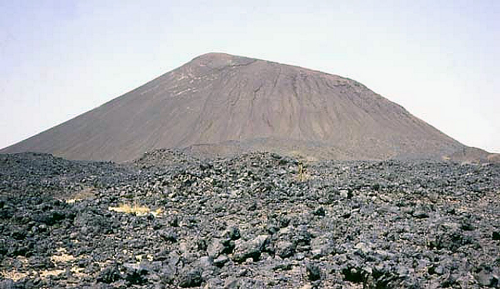
Todra Volcanic Field
- Tipo
- Campo vulcanico
- Altitudine
- 1780 m
- Ultima eruzione
- Sconosciuto
- Tipo
- Campo vulcanico
- Paese
- Niger
- Regione
- Africa settentrionale / West Central Sahara Volcanic Province
- Altitudine
- 1780 m
- Coordinate
- 17.680, 8.500
- Ultima eruzione
- Sconosciuto
- Contesto tettonico
- Intraplacca / Crosta continentale (> 25 km)
- Forma vulcanica
- Gruppo vulcanico
- Roccia principale
- Basalto / Picrobasalto
Sintesi geologica
Originale in ingleseThe Todra Volcanic Field covers about 1,000 km2 in the Tuareg shield in the southern Aïr region of Niger.
Estratto dal Global Volcanism Program, Smithsonian Institution · Leggi la sintesi completa sul GVP →
Sintesi da Wikipedia
Riassunto in ingleseRiassunto breve — apri l'articolo completo per maggiori dettagli.
Todra volcanic field is a volcanic field in the Aïr region, Niger.
Wikipedia · CC BY-SA · Continua a leggere su Wikipedia in inglese →
Storia delle eruzioni
GlossarioCronologia dettagliata
Nessuna registrazione di eruzioni disponibile.
Vulcani nelle vicinanze
Link esterni
⚠ Solo a scopo informativo. Non adatto a situazioni di emergenza.