Yemen · Campo vulcanico
Harra of Arhab
Arhab, Harra of
- Tipo
- Campo vulcanico
- Altitudine
- 3100 m
- Ultima eruzione
- 500
- Tipo
- Campo vulcanico
- Paese
- Yemen
- Regione
- Arabia e Asia centrale / Southwest Arabia Volcanic Province
- Altitudine
- 3100 m
- Coordinate
- 15.602, 44.098
- Ultima eruzione
- 500
- Contesto tettonico
- Intraplacca / Crosta continentale (> 25 km)
- Forma vulcanica
- Gruppo vulcanico
- Roccia principale
- Trachibasalto / Tefrite basanite
Sintesi geologica
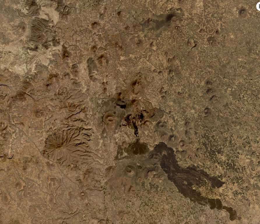
Originale in ingleseThe Quaternary Harra of Arhab in Yemen, north of the capital city of Sana'a, consists of a 1,500 km2 basaltic plateau capped by a few small stratovolcanoes and about 60 scoria cones, two of which have erupted in historical time.
Estratto dal Global Volcanism Program, Smithsonian Institution · Leggi la sintesi completa sul GVP →
Sintesi da Wikipedia
Riassunto in ingleseThe mainly Quaternary Harra of Arhab is the northernmost, historically active volcanic field in Yemen.
Wikipedia · CC BY-SA · Continua a leggere su Wikipedia in inglese →
Storia delle eruzioni
2 registrateGlossarioSintesi del registro
- Eruzioni confermate
- 2
- Eruzioni incerte
- 0
- Arco del registro confermato
- 200 – 500
- Eruzione confermata più grande
- VEI 2 (200)
- Eruzioni confermate dal 1900
- 0
Riepilogo (VEI nel tempo)
Fai clic su una barra per vedere le singole eruzioni · Usa le frecce per spostarti tra le barre, Invio per aprire
Cronologia dettagliata
- 500 (±100 anni)VEI 0Osservata500 – fine sconosciutaSouth flank of Kaulet Hattab
- 200VEI 2Stima geologica200 – fine sconosciutaEast flank of Jabal Zebib
Vulcani nelle vicinanze
Link esterni
⚠ Solo a scopo informativo. Non adatto a situazioni di emergenza.