Papua Nuova Guinea · Vulcano complesso
St. Andrew Strait
- Tipo
- Vulcano complesso
- Altitudine
- 270 m
- Ultima eruzione
- 1957
- Tipo
- Vulcano complesso
- Paese
- Papua Nuova Guinea
- Regione
- Pacifico sud-occidentale / Bismarck Sea Volcanic Province
- Altitudine
- 270 m
- Coordinate
- -2.380, 147.350
- Ultima eruzione
- 1957
- Contesto tettonico
- Zona di subduzione / Crosta oceanica (< 15 km)
- Forma vulcanica
- Composito
- Roccia principale
- Riolite
Sintesi geologica
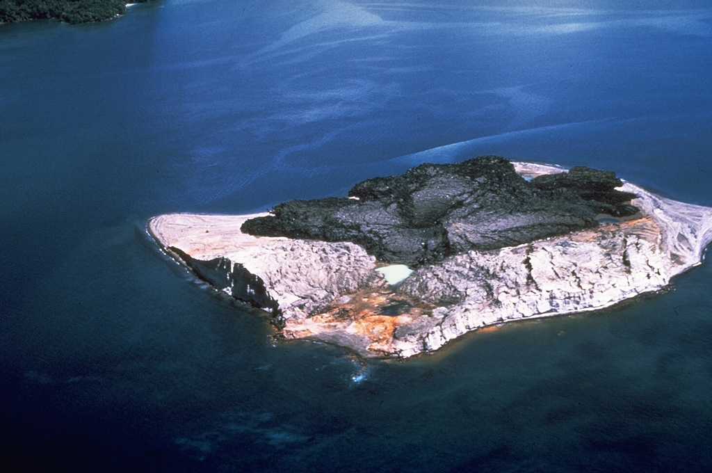
The St. Andrew Strait volcano, located in the Admiralty Islands north of Papua New Guinea, consists of a series of overlapping Quaternary cones formed by rhyolitic lava flows and pyroclastic materials on Lou and Tuluman Islands. Volcanism is aligned on a curved arc extending through the 12-km-long Lou Island. The Tuluman Islands, 1.5 km S of Lou Island, were formed during a 1953-1957 eruption. Pam Lin and Pam Mandian Islands farther to the SE along the same arc contain fresh rhyolitic obsidian similar to that found on Tuluman.
Storia delle eruzioni
5 registrateGlossarioRiepilogo (VEI nel tempo)
Fai clic su una barra per vedere le singole eruzioni · Usa le frecce per spostarti tra le barre, Invio per aprire
Cronologia dettagliata
- 1953VEI 2Osservata1953-06-27 – 1957-01-28Tuluman
- 1931VEI 0Metodo non indicato1931-07-02 – fine sconosciutaTuluman (?)
- 1883VEI 2Osservata1883-03-28 – fine sconosciutaTuluman
- 350VEI ?Stima geologica350 – fine sconosciutaLou Island (Bedal volcano)
- 240 a.C. (±100 anni)VEI ?Stima geologica240 a.C. – fine sconosciutaLou Island (Bedal volcano)
Vulcani nelle vicinanze
Link esterni
⚠ Solo a scopo informativo. Non adatto a situazioni di emergenza.