Papua Nuova Guinea · Campo vulcanico
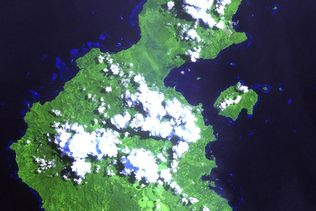
Garua Harbour
- Tipo
- Campo vulcanico
- Altitudine
- 565 m
- Ultima eruzione
- Sconosciuto
- Tipo
- Campo vulcanico
- Paese
- Papua Nuova Guinea
- Regione
- Pacifico sud-occidentale / Bismarck Volcanic Arc
- Altitudine
- 565 m
- Coordinate
- -5.300, 150.070
- Ultima eruzione
- Sconosciuto
- Contesto tettonico
- Zona di subduzione / Crosta continentale (> 25 km)
- Forma vulcanica
- Gruppo vulcanico
- Roccia principale
- Riolite
Sintesi geologica
The Garua (Talasea) Harbour volcanic field consists of a group of lava domes and ash cones of possible Holocene age. These volcanic vents ring the harbor on the west and form Garua Island to the east. Much of the volcanic field, including the two lava domes on Garua Island, consists of rhyolitic rocks. Active hot springs ring the shores of Garua Harbour and are best developed on the north and south sides. Large boiling pools, fumaroles, and small geysers are found on the north shore near Pangalu village. Another large group of boiling pools, fumaroles, and mudpots is located near the Talasea Government Station on the south shore of the bay.
Storia delle eruzioni
GlossarioCronologia dettagliata
Nessuna registrazione di eruzioni disponibile.
Vulcani nelle vicinanze
Link esterni
- Non ancora su Wikipedia (Italiano). Puoi contribuire su Wikidata.
- Pagina originale Smithsonian GVP
⚠ Solo a scopo informativo. Non adatto a situazioni di emergenza.