Vanuatu · Stratovulcano
Traitor's Head
- Tipo
- Stratovulcano
- Altitudine
- 817 m
- Ultima eruzione
- 1881
- Tipo
- Stratovulcano
- Paese
- Vanuatu
- Regione
- Pacifico sud-occidentale / Vanuatu Volcanic Arc
- Altitudine
- 817 m
- Coordinate
- -18.754, 169.238
- Ultima eruzione
- 1881
- Contesto tettonico
- Zona di subduzione / Crosta intermedia (15-25 km)
- Forma vulcanica
- Composito
- Roccia principale
- Basalto / Picrobasalto
Sintesi geologica
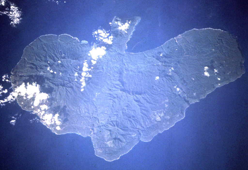
The Traitor's Head peninsula north of Cook Bay on eastern Erromango Island is comprised of three Holocene volcanic cones that are the youngest on the 50-km-long island. Mounts Rantop, Nagat, and Oulenou are small basaltic-to-andesitic stratovolcanoes with well-preserved morphologies. Rantop is the largest, but Oulenou is the most youthful looking, with an unbreached crater. A low plateau to the NW is underlain by ash deposits distributed by southeasterly trade winds. The volcanoes initially formed an offshore island that was joined to the mainland by uplift after volcanism ceased. A submarine vent offshore between the tip of the peninsula and Goat Island, 5 km to the NE, erupted in 1881, the only recorded activity of the Erromango volcanoes.
Storia delle eruzioni
2 registrateGlossarioCronologia dettagliata
- 1959VEI ?Metodo non indicato1959-07-02 – fine sconosciutaFour submarine vents N of Erromango
- 1881VEI 0Osservata1881-07-02 – fine sconosciutaNE flank submarine vent
Vulcani nelle vicinanze
Link esterni
- Non ancora su Wikipedia (Italiano). Puoi contribuire su Wikidata.
- Pagina originale Smithsonian GVP
⚠ Solo a scopo informativo. Non adatto a situazioni di emergenza.